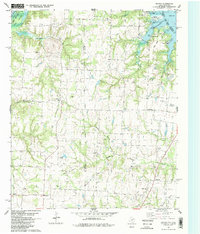
1982 Map of Dexter
USGS Topo · Published 1983About this map
The Red River borderland between Texas and Oklahoma is defined here by the southeastern reaches of Lake Texoma and the deep-seated energy industry of the early 1980s. Small rural communities like Dexter and Sandusky anchor a landscape crisscrossed by numerous seasonal creeks, including Sycamore Creek and Paw Paw Creek. The map records an active petroleum landscape with several named production areas such as the Ranbalm Oil Field, Philpick Oil Field, and Mc Millan Oil Field scattered across the countryside.
Find a feature on this map
45 named features on this map. Tap any name to fly to it.
Don’t see what you’re looking for? This feature index may not catch every label — zoom into the map to look around manually.
Map Details
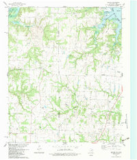
Editions of this 1982 Dexter Map
2 editions found
Other maps of this area

1901 · Denison
USGS Topo · 1:125,000

1902 · Gainesville
USGS Topo · 1:125,000

1943 · Gainesville
USGS Topo · 1:125,000

1954 · Sherman
USGS Topo · 1:250,000

1958 · Gordonville
USGS Topo · 1:62,500

1958 · Whitesboro
USGS Topo · 1:62,500

1958 · Sherman
USGS Topo · 1:250,000

1960 · Callisburg
USGS Topo · 1:24,000
1967 · Marietta East
USGS Topo · 1:24,000
1968 · Horseshoe Bend
USGS Topo · 1:24,000