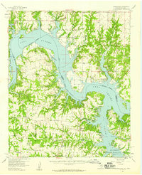
1958 Map of Gordonville
USGS Topo · Published 1959About this map
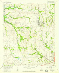
Lake Texoma and the Red River define this 1950s landscape where the borders of Cooke, Grayson, Marshall, and Love counties meet. The shoreline is punctuated by local landmarks like the Oklahoma University Biological Station and the Hagerman National Wildlife Refuge at the Big Mineral Arm. Inland, the settlement of Gordonville serves as a central point for the surrounding rural communities of Dexter, Sandusky, and Locust.
Find a feature on this map
59 named features on this map. Tap any name to fly to it.
Don’t see what you’re looking for? This feature index may not catch every label — zoom into the map to look around manually.
Map Details
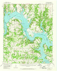
Editions of this 1958 Gordonville Map
2 editions found
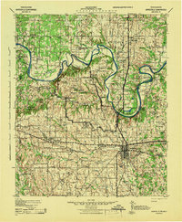
Other maps of this area

1901 · Tishomingo
USGS Topo · 1:125,000

1901 · Ardmore
USGS Topo · 1:125,000

1901 · Denison
USGS Topo · 1:125,000

1902 · Gainesville
USGS Topo · 1:125,000

1918 · Ardmore
USGS Topo · 1:125,000
1943 · Gainesville
USGS Topo · 1:125,000

1954 · Sherman
USGS Topo · 1:250,000

1957 · Ardmore
USGS Topo · 1:250,000
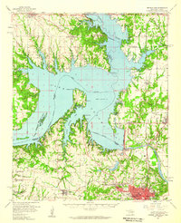
1958 · Denison Dam
USGS Topo · 1:62,500
1958 · Sherman NW
USGS Topo · 1:24,000