
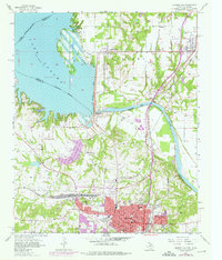
1957 Map of Denison Dam
USGS Topo · Published 1959About this map
Denison Dam serves as the central engineering marvel of this landscape, separating the massive waters of Lake Texoma from the Red River valley. This mid-century survey captures a critical period of infrastructure development along the Texas-Oklahoma border, with a dedicated powerplant and waterworks supporting the growing city of Denison. To the south, the city's residential grid is detailed with several local institutions including Houston Sch, Raynal Sch, and Fairview Cemetery.
Find a feature on this map
47 named features on this map. Tap any name to fly to it.
Don’t see what you’re looking for? This feature index may not catch every label — zoom into the map to look around manually.
Map Details
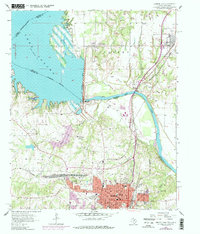
Editions of this 1957 Denison Dam Map
3 editions found
Other maps of this area

1901 · Denison
USGS Topo · 1:125,000

1954 · Sherman
USGS Topo · 1:250,000

1958 · Durant
USGS Topo · 1:62,500

1958 · Whitesright
USGS Topo · 1:62,500

1958 · Denison Dam
USGS Topo · 1:62,500

1958 · Sherman NW
USGS Topo · 1:24,000

1958 · Sherman
USGS Topo · 1:250,000

1958 · Sherman
USGS Topo · 1:62,500

1958 · Sherman
USGS Topo · 1:24,000
1980 · Durant South
USGS Topo · 1:24,000