
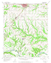
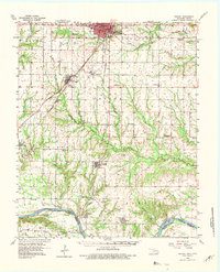
1958 Map of Durant
USGS Topo · Published 1959About this map
Durant anchors the northern reaches of this mid-century landscape, where the Missouri Kansas and Texas railroad intersects a network of agricultural communities. The terrain is defined by the winding course of the Red River along the Oklahoma Texas border, creating a series of intricate bends and sloughs such as Caney Slough. Evidence of the region's cultural history is marked by the Old Indian Boundary Line cutting across the central plains, while the rural fabric is held together by local centers like Calera, Achille, and the river crossing at Carpenters Bluff. This era shows a transition in local education, with functional institutions like Irving Sch and Lee Sch operating alongside those already noted as defunct, such as Pirtle Sch (Abandoned) and Cypress Sch (Abandoned).
Find a feature on this map
54 named features on this map. Tap any name to fly to it.
Don’t see what you’re looking for? This feature index may not catch every label — zoom into the map to look around manually.
Map Details
Editions of this 1958 Durant Map
3 editions found
Other maps of this area

1899 · Atoka
USGS Topo · 1:125,000

1900 · Atoka
USGS Topo · 1:125,000

1901 · Tishomingo
USGS Topo · 1:125,000

1901 · Denison
USGS Topo · 1:125,000

1954 · Sherman
USGS Topo · 1:250,000

1957 · Wade
USGS Topo · 1:62,500

1957 · Denison Dam
USGS Topo · 1:24,000

1957 · Ardmore
USGS Topo · 1:250,000

1958 · Bonham
USGS Topo · 1:62,500

1958 · Whitesright
USGS Topo · 1:62,500