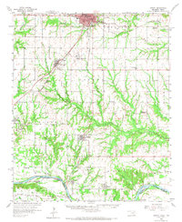
1958 Map of Durant
USGS Topo · Published 1973About this map
The Red River corridor defines the southern boundary of this 1950s survey, marking the jagged transition between Oklahoma and Texas. The urban center of Durant anchors the northern portion of the map, where the St Louis San Francisco and Missouri Kansas and Texas railroads intersect, forming a vital transportation hub for the surrounding agricultural landscape. Moving south toward the river, the terrain is dotted with small rural communities like Calera, Achille, and Hendrix, alongside local landmarks such as Eaker Airport and a Drive-in Theater near the Country Club.
Find a feature on this map
66 named features on this map. Tap any name to fly to it.
Don’t see what you’re looking for? This feature index may not catch every label — zoom into the map to look around manually.
Map Details
Editions of this 1958 Durant Map
3 editions found
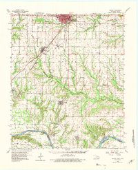
Other maps of this area

1899 · Atoka
USGS Topo · 1:125,000

1900 · Atoka
USGS Topo · 1:125,000

1901 · Tishomingo
USGS Topo · 1:125,000

1901 · Denison
USGS Topo · 1:125,000

1954 · Sherman
USGS Topo · 1:250,000

1957 · Wade
USGS Topo · 1:62,500

1957 · Denison Dam
USGS Topo · 1:24,000

1957 · Ardmore
USGS Topo · 1:250,000

1958 · Durant
USGS Topo · 1:62,500

1958 · Bonham
USGS Topo · 1:62,500