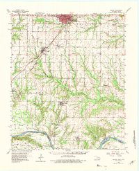
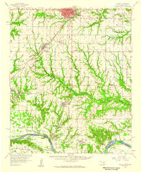
1958 Map of Durant
USGS Topo · Published 1982About this map
Durant serves as the focal point of this late 1950s survey of southern Oklahoma, showing a landscape defined by the intersection of major rail lines and the meandering Red River. The region's social history is visible in its numerous rural institutions, including Lee Chapel, Bushnell Ch, and the Booker T Washington Sch. The map records several smaller communities such as Calera, Achille, and Hendrix, while also marking the transition of local infrastructure through labels like the Pirtle Sch (Abandoned) and Cypress Sch (Abandoned).
Find a feature on this map
60 named features on this map. Tap any name to fly to it.
Don’t see what you’re looking for? This feature index may not catch every label — zoom into the map to look around manually.
Map Details
Editions of this 1958 Durant Map
3 editions found
Other maps of this area

1899 · Atoka
USGS Topo · 1:125,000

1900 · Atoka
USGS Topo · 1:125,000

1901 · Tishomingo
USGS Topo · 1:125,000

1901 · Denison
USGS Topo · 1:125,000

1954 · Sherman
USGS Topo · 1:250,000
1957 · Wade
USGS Topo · 1:62,500
1957 · Denison Dam
USGS Topo · 1:24,000

1957 · Ardmore
USGS Topo · 1:250,000
1958 · Durant
USGS Topo · 1:62,500
1958 · Bonham
USGS Topo · 1:62,500