1960 Map of Aubrey
USGS Topo · Published 1962About this map
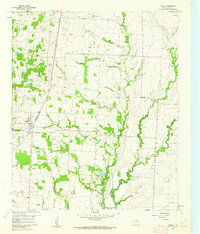
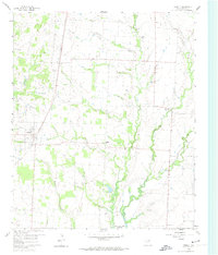
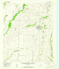
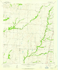
Aubrey and its surrounding prairie land appear here during a period of significant hydrological transition, as the southern portion of the quadrangle shows the rising waters of the Garza-Little Elm Reservoir. The landscape is defined by the drainage basins of Pecan Creek and Little Elm Creek, with the Texas and Pacific railroad providing the primary transportation spine through the town center. Genealogists and local historians will find the exact placement of the Belew Cem and another unnanmed Cem essential for tracing family roots in this rural Texas interior.
Find a feature on this map
15 named features on this map. Tap any name to fly to it.
Don’t see what you’re looking for? This feature index may not catch every label — zoom into the map to look around manually.
Map Details
Editions of this 1960 Aubrey Map
2 editions found
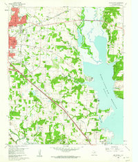
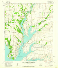
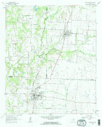
Other maps of this area

1929 · Frisco
USGS Topo · 1:62,500

1954 · Sherman
USGS Topo · 1:250,000

1958 · Sherman
USGS Topo · 1:250,000
1960 · Frisco
USGS Topo · 1:24,000
1960 · Green Valley
USGS Topo · 1:24,000
1960 · Celina
USGS Topo · 1:24,000
1960 · Denton East
USGS Topo · 1:24,000
1960 · Little Elm
USGS Topo · 1:24,000
1961 · Pilot Point
USGS Topo · 1:24,000
1961 · Marilee
USGS Topo · 1:24,000