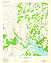
1960 Map of Argyle
USGS Topo · Published 1961About this map
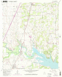
Grapevine Reservoir dominates the southeastern corner of this 1960 landscape, revealing the early shoreline and points like Bold Point and Rocky Point shortly after the reservoir’s creation. The Texas and Pacific railroad bisects the terrain, connecting the established communities of Argyle and Roanoke. This era shows a rural landscape in transition, where agricultural lands are dotted with local landmarks such as Shiloh Ch and Double Oak Sch. The presence of numerous quarries, a Strip Mine, and the Old Railroad Grade indicates the area's industrial activity and changing transportation infrastructure. Smaller settlements like Bartonville, Double Oak, and Smoots serve as vital local hubs amidst a network of creek branches, including Elizabeth Creek and Denton Creek, which feed into the primary basin.
Find a feature on this map
30 named features on this map. Tap any name to fly to it.
Don’t see what you’re looking for? This feature index may not catch every label — zoom into the map to look around manually.
Map Details
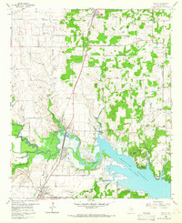
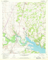
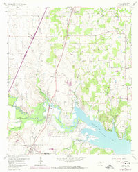
Editions of this 1960 Argyle Map
5 editions found
Other maps of this area

1894 · Fort Worth
USGS Topo · 1:125,000

1931 · Grapevine
USGS Topo · 1:62,500

1954 · Dallas
USGS Topo · 1:250,000

1954 · Sherman
USGS Topo · 1:250,000

1955 · Keller
USGS Topo · 1:24,000

1955 · Haltom City
USGS Topo · 1:62,500

1958 · Dallas
USGS Topo · 1:250,000

1958 · Sherman
USGS Topo · 1:250,000
1959 · Grapevine
USGS Topo · 1:24,000
1959 · Colleyville
USGS Topo · 1:24,000