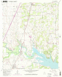
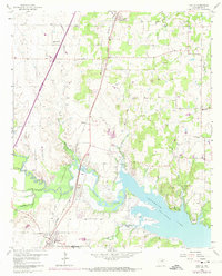
1960 Map of Argyle
USGS Topo · Published 1974About this map
Roanoke and Argyle anchor this North Texas landscape at a time when the region's rural character was beginning to interface with expanding residential and industrial activity. The southern reaches are dominated by the waters of Grapevine Lake, showing prominent shoreline landmarks like Bolo Point and Rocky Point. Moving inland, the map captures the transition from agriculture to excavation, noted by several Quarries and a Strip Mine located near the meanders of Denton Creek.
Find a feature on this map
31 named features on this map. Tap any name to fly to it.
Don’t see what you’re looking for? This feature index may not catch every label — zoom into the map to look around manually.
Map Details
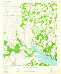
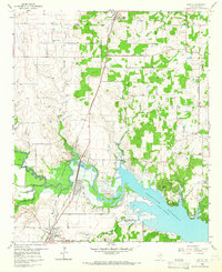
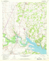
Editions of this 1960 Argyle Map
5 editions found
Other maps of this area

1894 · Fort Worth
USGS Topo · 1:125,000

1931 · Grapevine
USGS Topo · 1:62,500

1954 · Dallas
USGS Topo · 1:250,000

1954 · Sherman
USGS Topo · 1:250,000

1955 · Keller
USGS Topo · 1:24,000

1955 · Haltom City
USGS Topo · 1:62,500

1958 · Dallas
USGS Topo · 1:250,000

1958 · Sherman
USGS Topo · 1:250,000
1959 · Grapevine
USGS Topo · 1:24,000
1959 · Colleyville
USGS Topo · 1:24,000