Loading...
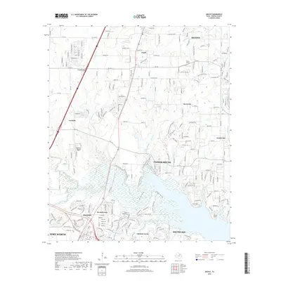
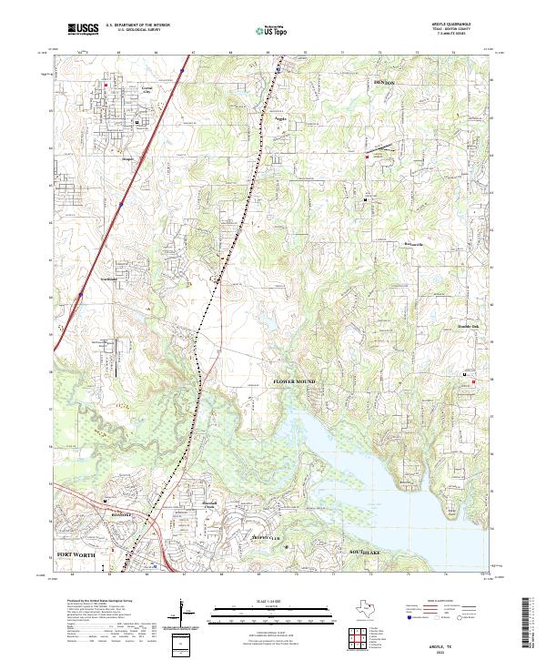
Loading map...1960 Map of Argyle
USGS Topo · Published 1974About this map
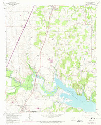
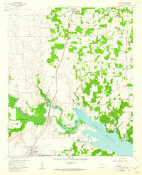
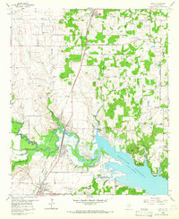
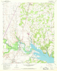
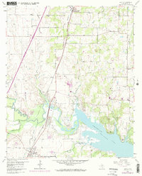
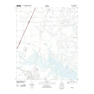
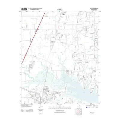
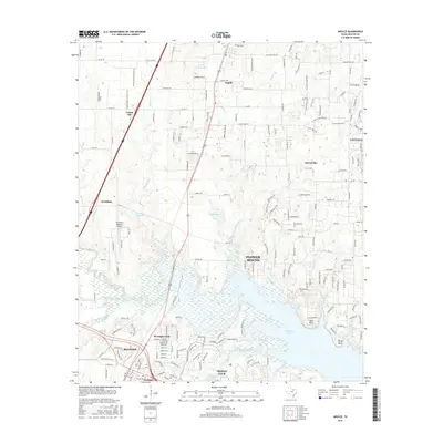
The Texas and Pacific railroad bisects this landscape, connecting the growing settlements of Argyle and Roanoke during a period of significant hydraulic transformation. The southern reaches are dominated by Grapevine Lake, where the shoreline is defined by the Spillway Elevation 535 and named points like Bolo Point and Rocky Point. This area reflects the mid-century transition from traditional agriculture to a reservoir-based geography, though many rural markers remain, such as Prairie Mound Ch and the Double Oak Sch.
Find a feature on this map
34 named features on this map. Tap any name to fly to it.
Don’t see what you’re looking for? This feature index may not catch every label — zoom into the map to look around manually.
Map Details
Date Portrayed1960
Date Published1974
PublisherU.S. Geological Survey
Map TypeTopographic
Scale1:24,000
Physical Dimensions21.5 x 26.7 inches
Editions of this 1960 Argyle Map
5 editions found
Historical Maps of Fort Worth Through Time
6 maps found
Featured Locations
Source Details
SourceU.S. Geological Survey
CopyrightPublic Domain