Loading...
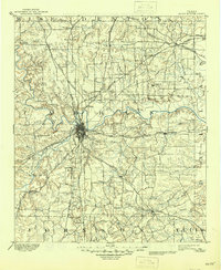
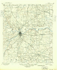
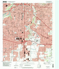
Loading map...1894 Map of Fort Worth
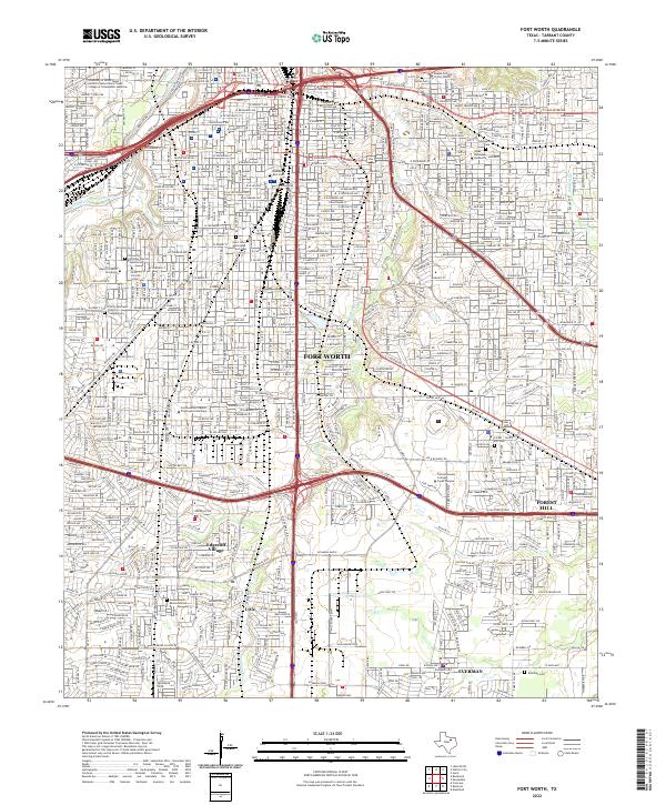
USGS Topo · Published 1945About this map
Fort Worth stands as a burgeoning railroad hub in this late 19th-century landscape, positioned at the critical confluence where the West Fork Trinity River and Clear Fork Trinity River meet. The city's growth is defined by a dense radial network of tracks, including the Texas and Pacific Railway and the Gulf Colorado and Santa Fe Railway, which connect it to surrounding prairie settlements.
Find a feature on this map
75 named features on this map. Tap any name to fly to it.
Don’t see what you’re looking for? This feature index may not catch every label — zoom into the map to look around manually.
Map Details
Date Portrayed1894
Date Published1945
PublisherU.S. Geological Survey
Map TypeTopographic
Scale1:125,000
Physical Dimensions17.1 x 20.9 inches
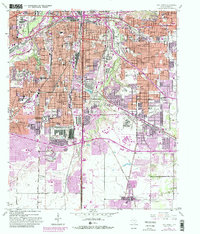
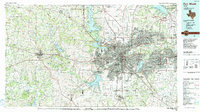
Editions of this 1894 Fort Worth Map
3 editions found

Historical Maps of Dallas Through Time
9 maps found
Featured Locations
Source Details
SourceU.S. Geological Survey
CopyrightPublic Domain