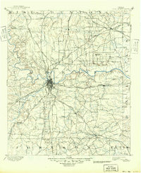
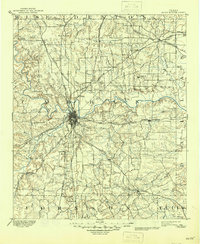
1894 Map of Fort Worth
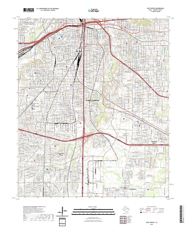
USGS Topo · Published 1949About this map
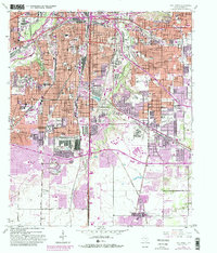
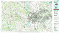
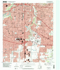
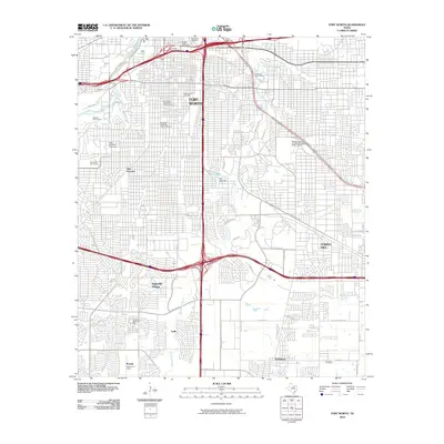
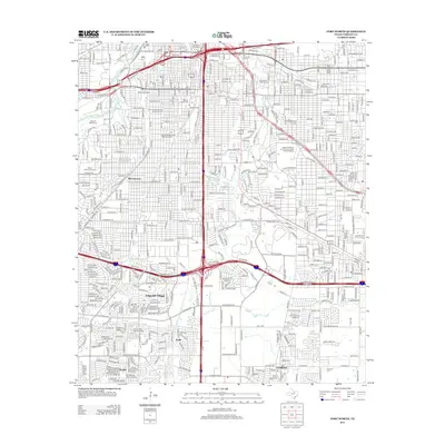
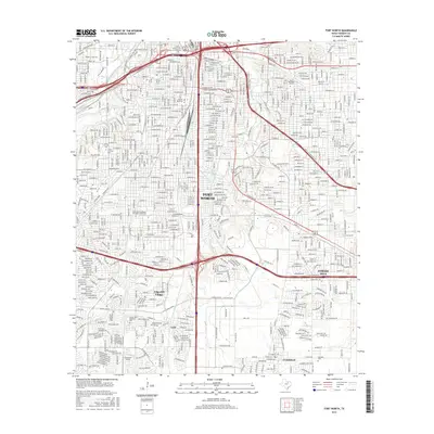
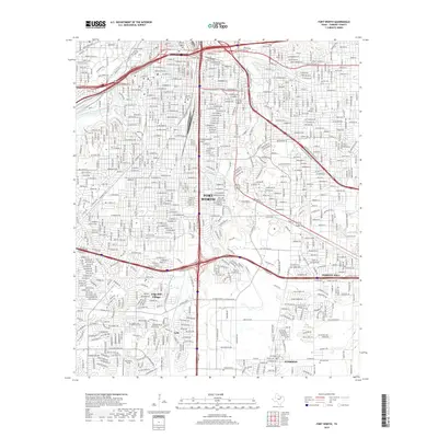
Fort Worth sits at the convergence of three major river forks in the late 19th century, serving as a massive hub for the burgeoning North Texas rail network. The survey documents the city's early grid before the massive urban expansion of the 20th century, showing a landscape defined by the West Fork of Trinity River, Clear Fork of Trinity River, and the main Trinity River channel. Major lines like the Texas and Pacific Railway and the Gulf Colorado and Santa Fe Railway intersect here, illustrating the transition from a frontier outpost to a dominant shipping center.
Find a feature on this map
75 named features on this map. Tap any name to fly to it.
Don’t see what you’re looking for? This feature index may not catch every label — zoom into the map to look around manually.
Map Details
Editions of this 1894 Fort Worth Map
3 editions found

Historical Maps of Dallas Through Time
9 maps found