
1959 Map of Arlington
USGS Topo · Published 1960About this map
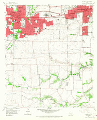
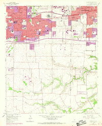
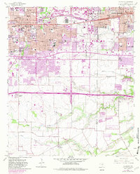
The growing urban corridor between Fort Worth and Dallas is defined here by the rapid mid-century expansion of Arlington and Grand Prairie. Commercial and educational hubs anchor the landscape, most notably Arlington State College and the large Automobile Assembly Plant situated near the Texas and Pacific railroad tracks. The map records a moment when suburban residential development began to push south into the rural ranch land and creek bottoms of the Tarrant and Dallas county line.
Find a feature on this map
77 named features on this map. Tap any name to fly to it.
Don’t see what you’re looking for? This feature index may not catch every label — zoom into the map to look around manually.
Map Details
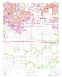
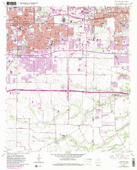
Editions of this 1959 Arlington Map
6 editions found
Other maps of this area

1891 · Dallas
USGS Topo · 1:125,000

1893 · Dallas
USGS Topo · 1:125,000

1894 · Fort Worth
USGS Topo · 1:125,000

1931 · Carrollton
USGS Topo · 1:62,500

1931 · Grapevine
USGS Topo · 1:62,500

1954 · Dallas
USGS Topo · 1:250,000

1958 · Dallas
USGS Topo · 1:250,000

1959 · Kennedale
USGS Topo · 1:24,000

1959 · Euless
USGS Topo · 1:24,000
1959 · Irving
USGS Topo · 1:24,000
Featured Places
- Arlington, TX
- Grand Prairie, TX
- Lakewood, Grand Prairie
- Ameserio Estates, Grand Prairie
- Westchester, Grand Prairie