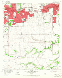
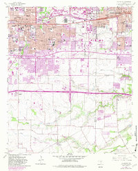
1959 Map of Arlington
USGS Topo · Published 1968About this map
The Arlington State College campus sits at the heart of this mid-century Texas landscape, marking a period of rapid suburban and institutional expansion. Adjacent to the Texas and Pacific railroad, a massive Automobile Assembly Plant highlights the industrial growth between Arlington and Grand Prairie. The northern half of the map is densely packed with new schools and churches, such as Ousley Jr High Sch, St Maria Goretti Sch, and Prince of Peace Ch, reflecting the postwar housing boom. In contrast, the southern terrain remains defined by winding watercourses like Johnson Creek and Fish Creek, where smaller clusters like Southland Acres and Webb appear. Large-scale infrastructure projects are evident, including the Fort Worth-Dallas Turnpike and the Municipal Airport, which facilitated the region's connection to the broader metroplex.
Find a feature on this map
74 named features on this map. Tap any name to fly to it.
Don’t see what you’re looking for? This feature index may not catch every label — zoom into the map to look around manually.
Map Details
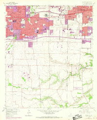
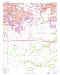
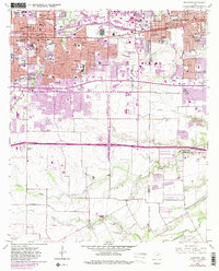
Editions of this 1959 Arlington Map
6 editions found
Other maps of this area

1891 · Dallas
USGS Topo · 1:125,000

1893 · Dallas
USGS Topo · 1:125,000

1894 · Fort Worth
USGS Topo · 1:125,000

1931 · Carrollton
USGS Topo · 1:62,500

1931 · Grapevine
USGS Topo · 1:62,500

1954 · Dallas
USGS Topo · 1:250,000

1958 · Dallas
USGS Topo · 1:250,000

1959 · Kennedale
USGS Topo · 1:24,000

1959 · Arlington
USGS Topo · 1:24,000

1959 · Euless
USGS Topo · 1:24,000
Featured Places
- Arlington, TX
- Grand Prairie, TX
- Lakewood, Grand Prairie
- Ameserio Estates, Grand Prairie
- Westchester, Grand Prairie