
1959 Map of Kennedale
USGS Topo · Published 1960About this map
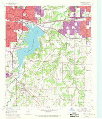
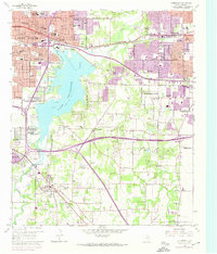
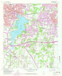
Lake Arlington dominates the western portion of this landscape, its winding shoreline and newly submerged topography defining the transition between Fort Worth and Arlington. The 1950s saw significant suburban expansion in this corridor, evidenced by the emerging residential grids of Pantego and Dalworthington Gardens alongside established rail communities like Handley and Kennedale. The presence of the Texas and Pacific and Southern Pacific railroads highlights the enduring industrial backbone of Tarrant County, while the numerous rural institutions, including Bible Baptist Seminary, Masonic Home, and Johnsons Station, provide critical anchor points for genealogists tracking local families.
Find a feature on this map
63 named features on this map. Tap any name to fly to it.
Don’t see what you’re looking for? This feature index may not catch every label — zoom into the map to look around manually.
Map Details
Editions of this 1959 Kennedale Map
4 editions found
Other maps of this area

1894 · Fort Worth
USGS Topo · 1:125,000

1931 · Grapevine
USGS Topo · 1:62,500

1954 · Dallas
USGS Topo · 1:250,000

1955 · Haltom City
USGS Topo · 1:24,000

1955 · Burleson
USGS Topo · 1:24,000

1955 · Fort Worth
USGS Topo · 1:24,000

1955 · Haltom City
USGS Topo · 1:62,500

1958 · Dallas
USGS Topo · 1:250,000

1959 · Arlington
USGS Topo · 1:24,000

1959 · Euless
USGS Topo · 1:24,000