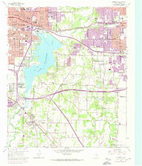
1959 Map of Kennedale
USGS Topo · Published 1974About this map
Lake Arlington dominates the central landscape of this Tarrant County survey, serving as a focal point for the rapid mid-century expansion between Fort Worth and Arlington. The map documents a period of significant suburban development, with purple-tinted photorevisions from the late 1960s and early 1970s illustrating the outward growth of settlements like Pantego, Dalworthington Gardens, and Forest Hill. Infrastructure follows this expansion, evidenced by the complex interchange of U.S. Highway 287 and the development of the Filtration Plant and Sewage Disposal systems near the lake.
Find a feature on this map
73 named features on this map. Tap any name to fly to it.
Don’t see what you’re looking for? This feature index may not catch every label — zoom into the map to look around manually.
Map Details
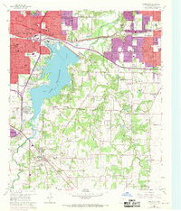
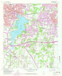
Editions of this 1959 Kennedale Map
4 editions found
Other maps of this area

1894 · Fort Worth
USGS Topo · 1:125,000

1931 · Grapevine
USGS Topo · 1:62,500

1954 · Dallas
USGS Topo · 1:250,000

1955 · Haltom City
USGS Topo · 1:24,000

1955 · Burleson
USGS Topo · 1:24,000

1955 · Fort Worth
USGS Topo · 1:24,000

1955 · Haltom City
USGS Topo · 1:62,500

1958 · Dallas
USGS Topo · 1:250,000

1959 · Kennedale
USGS Topo · 1:24,000

1959 · Arlington
USGS Topo · 1:24,000