
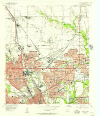
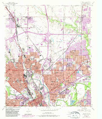
1955 Map of Haltom City
USGS Topo · Published 1955About this map
Saginaw Army Aircraft Plant and the nearby Blue Mound Airport anchor the industrial landscape north of Fort Worth, reflecting the region's mid-century aviation and defense importance. The corridor is heavily defined by a dense network of transit, including the Oklahoma and Kansas and Texas Railroad and the St Louis Southwestern Railway, which service the sprawling Grain Milling Plant and various refineries.
Find a feature on this map
105 named features on this map. Tap any name to fly to it.
Don’t see what you’re looking for? This feature index may not catch every label — zoom into the map to look around manually.
Map Details
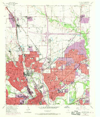
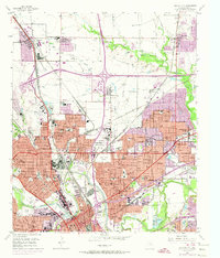
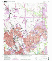
Editions of this 1955 Haltom City Map
6 editions found
Other maps of this area

1894 · Fort Worth
USGS Topo · 1:125,000

1931 · Grapevine
USGS Topo · 1:62,500

1954 · Dallas
USGS Topo · 1:250,000

1955 · Avondale
USGS Topo · 1:24,000

1955 · Keller
USGS Topo · 1:24,000

1955 · Lake Worth
USGS Topo · 1:24,000

1955 · Benbrook
USGS Topo · 1:24,000

1955 · Fort Worth
USGS Topo · 1:24,000

1955 · Haltom City
USGS Topo · 1:62,500

1958 · Dallas
USGS Topo · 1:250,000