
1955 Map of Avondale
USGS Topo · Published 1956About this map
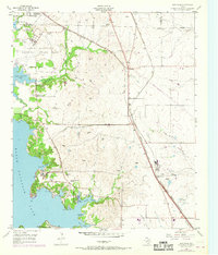
Eagle Mountain National Guard Base dominates the northwestern heights above the expansive Eagle Mountain Lake, providing a clear view of the region's mid-century military and community infrastructure. This area north of Fort Worth shows a landscape defined by the intersection of water and rail, with the Chicago Rock Island and Pacific and the Fort Worth and Denver (Burlington) railroads carving through the terrain.
Find a feature on this map
35 named features on this map. Tap any name to fly to it.
Don’t see what you’re looking for? This feature index may not catch every label — zoom into the map to look around manually.
Map Details
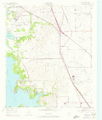
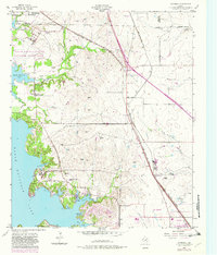
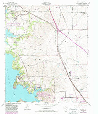
Editions of this 1955 Avondale Map
5 editions found
Other maps of this area

1891 · Weatherford
USGS Topo · 1:125,000

1893 · Weatherford
USGS Topo · 1:125,000

1894 · Fort Worth
USGS Topo · 1:125,000

1924 · Sunset 4-d
USGS Topo · 1:48,000

1930 · Boyd
USGS Topo · 1:62,500

1932 · Springtown
USGS Topo · 1:62,500

1954 · Dallas
USGS Topo · 1:250,000

1954 · Sherman
USGS Topo · 1:250,000

1955 · Haltom City
USGS Topo · 1:24,000

1955 · Azle
USGS Topo · 1:24,000