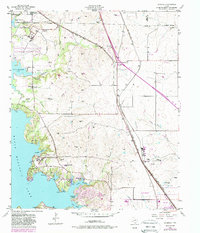
1955 Map of Avondale
USGS Topo · Published 1988About this map
The waters of Eagle Mountain Lake dominate this mid-century landscape northwest of Fort Worth, where the shoreline is defined by numerous inlets and sloughs including Flemming Slough and Dosier Slough. This survey captures a mix of military presence and growing community infrastructure, notably the Eagle Mountain Lake National Guard Base and the Boy Scout Community Center. The map documents a rural-to-suburban transition, evidenced by the presence of several small country churches like Dide Ch and Lakeview Ch, alongside the Eagle Mountain School. Transportation corridors are critical to the area's development, with the Oklahoma Kansas and Texas and Fort Worth and Denver railroads cutting through the territory. Industrial activity is concentrated in numerous Gravel Pits, while smaller settlements such as Avondale and Newark serve as local anchors during this period of expansion.
Find a feature on this map
35 named features on this map. Tap any name to fly to it.
Don’t see what you’re looking for? This feature index may not catch every label — zoom into the map to look around manually.
Map Details
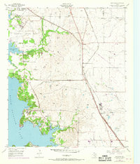
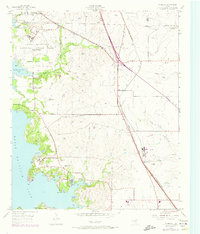
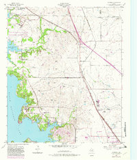
Editions of this 1955 Avondale Map
5 editions found
Other maps of this area

1891 · Weatherford
USGS Topo · 1:125,000

1893 · Weatherford
USGS Topo · 1:125,000

1894 · Fort Worth
USGS Topo · 1:125,000

1924 · Sunset 4-d
USGS Topo · 1:48,000

1930 · Boyd
USGS Topo · 1:62,500

1932 · Springtown
USGS Topo · 1:62,500

1954 · Dallas
USGS Topo · 1:250,000

1954 · Sherman
USGS Topo · 1:250,000

1955 · Haltom City
USGS Topo · 1:24,000

1955 · Avondale
USGS Topo · 1:24,000