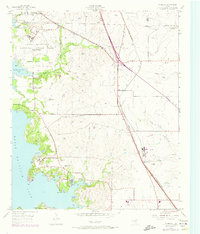
1955 Map of Avondale
USGS Topo · Published 1974About this map
The western edge of Tarrant County is defined by the winding eastern shoreline of Eagle Mountain Lake, a landscape marked by a mix of military aviation history and rural community growth during the mid-20th century. The decommissioned Eagle Mountain National Guard Base sits near the northern reaches of the lake, while the established aviation infrastructure of Hicks Field serves the rail-heavy corridor to the east. Transportation and logistics are central to the area's layout, with the Chicago Rock Island and Pacific and Burlington Northern railroads providing the industrial backbone for settlements like Avondale and Hicks. Social and spiritual life is anchored by local landmarks such as Dido Ch, Lakeview Ch, and the Boy Scout Community Center, reflecting a period of transition as these small communities bridged the gap between agricultural roots and the expanding influence of nearby Fort Worth.
Find a feature on this map
35 named features on this map. Tap any name to fly to it.
Don’t see what you’re looking for? This feature index may not catch every label — zoom into the map to look around manually.
Map Details
Editions of this 1955 Avondale Map
5 editions found
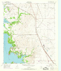
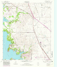
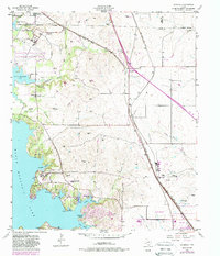
Other maps of this area

1891 · Weatherford
USGS Topo · 1:125,000

1893 · Weatherford
USGS Topo · 1:125,000

1894 · Fort Worth
USGS Topo · 1:125,000

1924 · Sunset 4-d
USGS Topo · 1:48,000

1930 · Boyd
USGS Topo · 1:62,500

1932 · Springtown
USGS Topo · 1:62,500

1954 · Dallas
USGS Topo · 1:250,000

1954 · Sherman
USGS Topo · 1:250,000

1955 · Haltom City
USGS Topo · 1:24,000

1955 · Avondale
USGS Topo · 1:24,000