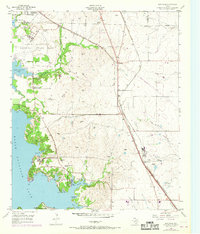
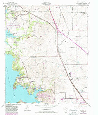
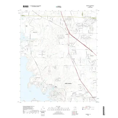
1955 Map of Avondale
USGS Topo · Published 1969About this map
Eagle Mountain National Guard Base dominates the western shoreline of Eagle Mountain Lake, a landscape defined by its intricate system of sloughs and inlets during the mid-1950s. The shoreline is punctuated by local landmarks like Flemming Slough and Dosier Slough, while inland, the infrastructure of the Chicago Rock Island and Pacific and the Fort Worth and Denver (Burlington) railroads chart the primary transportation corridors.
Find a feature on this map
31 named features on this map. Tap any name to fly to it.
Don’t see what you’re looking for? This feature index may not catch every label — zoom into the map to look around manually.
Map Details
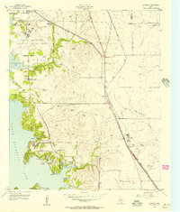
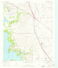
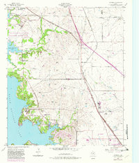
Editions of this 1955 Avondale Map
5 editions found
Historical Maps of Fort Worth Through Time
19 maps found
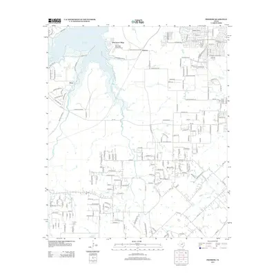
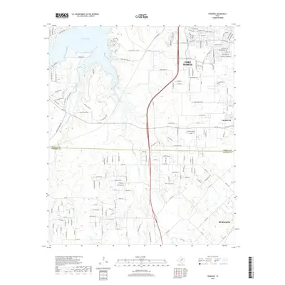
1955 Avondale
Tarrant County, TX
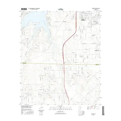
1955 Primrose
Tarrant County, TX
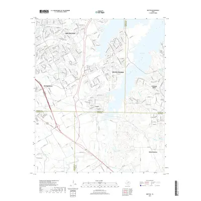
1959 Britton
Tarrant County, TX
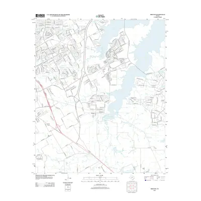
1995 Britton
Tarrant County, TX
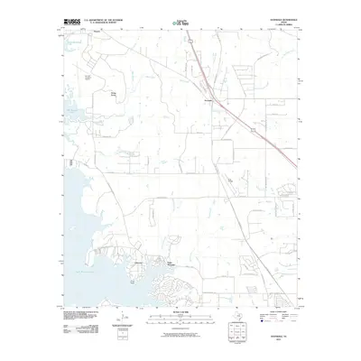
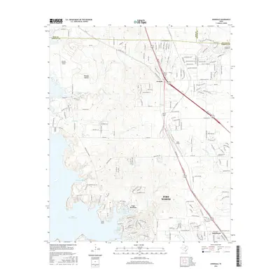
2010 Avondale
Tarrant County, TX
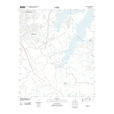
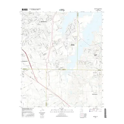
2010 Britton
Tarrant County, TX
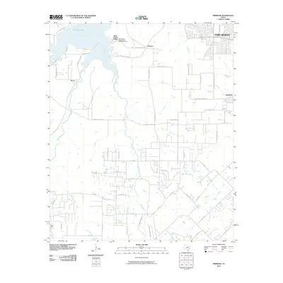
2010 Primrose
Tarrant County, TX
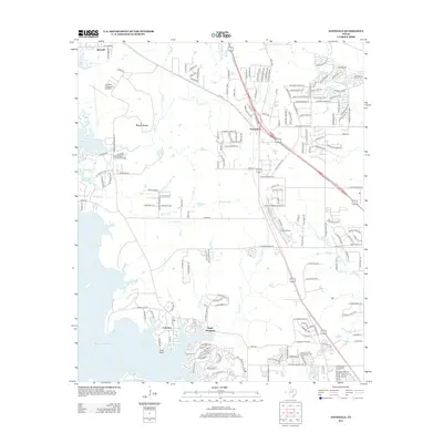
2012 Avondale
Tarrant County, TX
2012 Primrose
Tarrant County, TX
2013 Britton
Tarrant County, TX
2016 Avondale
Tarrant County, TX
2016 Britton
Tarrant County, TX
2016 Primrose
Tarrant County, TX
2019 Avondale
Tarrant County, TX
2019 Britton
Tarrant County, TX
2019 Primrose
Tarrant County, TX
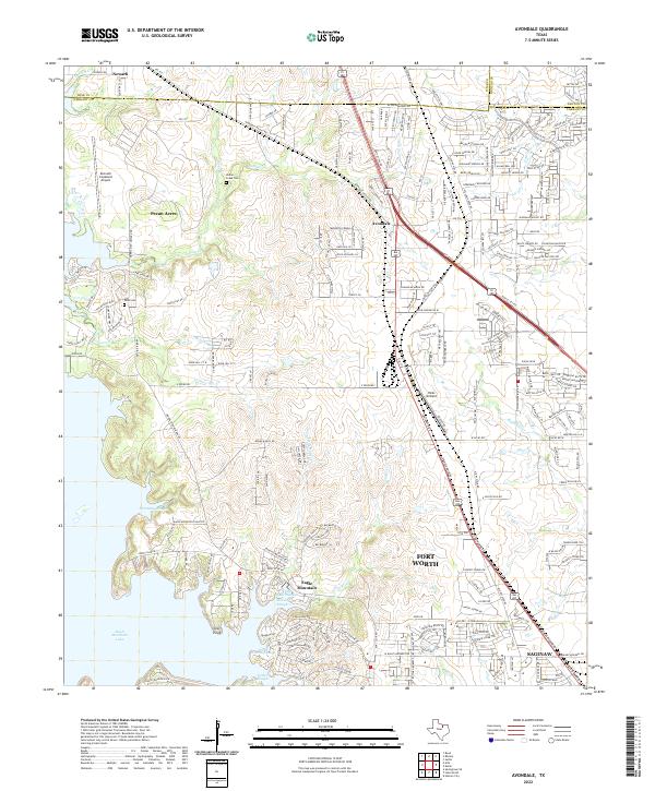
2022 Avondale
Tarrant County, TX
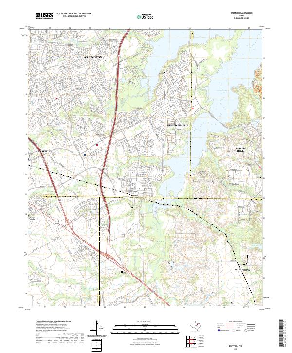
2022 Britton
Tarrant County, TX
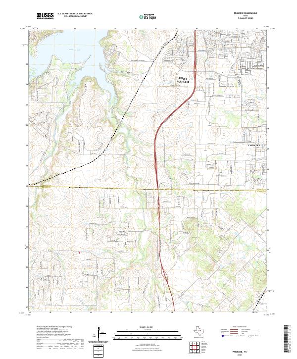
2022 Primrose
Tarrant County, TX