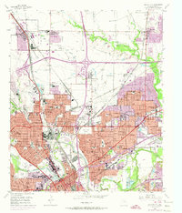
1955 Map of Haltom City
USGS Topo · Published 1974About this map
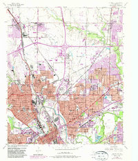
The confluence of the West Fork Trinity River and Clear Fork Trinity River anchors this industrial and residential landscape during a period of rapid mid-century expansion. Heavy rail infrastructure, including the Fort Worth and Denver RR and Texas and Pacific RR, defines the corridor through Fort Worth, supporting a dense network of grain milling and storage plants. Urban development is captured at two stages: the established grid of the city proper and the 1970s suburban growth of Haltom City and Melody Hills. Local heritage is preserved in numerous civic sites, from the prominent Mount Olivet Cemetery to a vast collection of neighborhood institutions like Birdville High Sch and Washington Heights Sch. The presence of Meacham Field Municipal Airport and a Fish Hatchery near the river forks further illustrates the varied land use of Tarrant County at this time.
Find a feature on this map
105 named features on this map. Tap any name to fly to it.
Don’t see what you’re looking for? This feature index may not catch every label — zoom into the map to look around manually.
Map Details
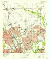
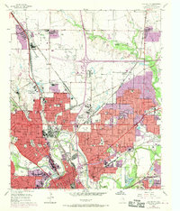
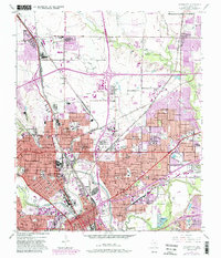
Editions of this 1955 Haltom City Map
6 editions found
Other maps of this area

1894 · Fort Worth
USGS Topo · 1:125,000

1931 · Grapevine
USGS Topo · 1:62,500

1954 · Dallas
USGS Topo · 1:250,000

1955 · Haltom City
USGS Topo · 1:24,000

1955 · Avondale
USGS Topo · 1:24,000

1955 · Keller
USGS Topo · 1:24,000

1955 · Lake Worth
USGS Topo · 1:24,000

1955 · Benbrook
USGS Topo · 1:24,000

1955 · Fort Worth
USGS Topo · 1:24,000

1955 · Haltom City
USGS Topo · 1:62,500