
1955 Map of Lake Worth
USGS Topo · Published 1957About this map
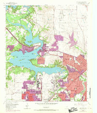
Carswell Air Force Base and its massive Aircraft Plant dominate the mid-century landscape west of Fort Worth, representing a period of significant military and industrial expansion. The map details the suburban growth surrounding Lake Worth, including the residential layouts of Lake Worth Village, Sansom Park Village, and White Settlement. This era is characterized by the conversion of lakeside terrain into recreation and utility spaces, evidenced by the State Fish Hatchery, the Fish Cultural Station, and youth retreats like Camp Carter (YMCA) and Camp Leroy Shuman. The winding West Fork Trinity River flows through a series of islands including Greer Islands and Goat Island, while local civic life is anchored by institutions such as Castlebury Sch and Indian Oaks Ch.
Find a feature on this map
43 named features on this map. Tap any name to fly to it.
Don’t see what you’re looking for? This feature index may not catch every label — zoom into the map to look around manually.
Map Details
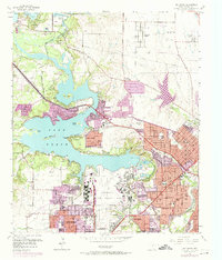
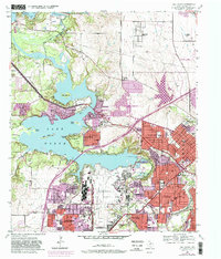
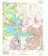
Editions of this 1955 Lake Worth Map
5 editions found
Other maps of this area

1891 · Weatherford
USGS Topo · 1:125,000

1893 · Weatherford
USGS Topo · 1:125,000

1894 · Fort Worth
USGS Topo · 1:125,000

1932 · Springtown
USGS Topo · 1:62,500

1954 · Dallas
USGS Topo · 1:250,000

1955 · Haltom City
USGS Topo · 1:24,000

1955 · Avondale
USGS Topo · 1:24,000

1955 · Aledo
USGS Topo · 1:24,000

1955 · Azle
USGS Topo · 1:24,000

1955 · Keller
USGS Topo · 1:24,000