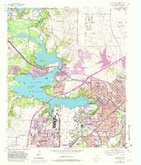
1955 Map of Lake Worth
USGS Topo · Published 1982About this map
Carswell Air Force Base and the adjacent Air Force Plant 4 dominate the southern landscape of this 1955 survey, reflecting the mid-century aviation and defense expansion in the Fort Worth area. The West Fork Trinity River flows through the heart of the map, feeding into the expansive Lake Worth, which serves as a center for both municipal resources and recreation.
Find a feature on this map
52 named features on this map. Tap any name to fly to it.
Don’t see what you’re looking for? This feature index may not catch every label — zoom into the map to look around manually.
Map Details
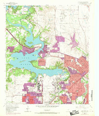
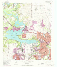
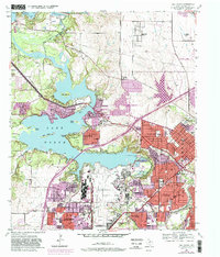
Editions of this 1955 Lake Worth Map
5 editions found

Other maps of this area

1891 · Weatherford
USGS Topo · 1:125,000

1893 · Weatherford
USGS Topo · 1:125,000

1894 · Fort Worth
USGS Topo · 1:125,000

1932 · Springtown
USGS Topo · 1:62,500

1954 · Dallas
USGS Topo · 1:250,000

1955 · Haltom City
USGS Topo · 1:24,000

1955 · Avondale
USGS Topo · 1:24,000

1955 · Aledo
USGS Topo · 1:24,000

1955 · Azle
USGS Topo · 1:24,000

1955 · Keller
USGS Topo · 1:24,000