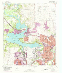
1955 Map of Lake Worth
USGS Topo · Published 1974About this map
The West Fork Trinity River landscape in the mid-1950s is defined by the massive industrial and military footprint at the edge of Lake Worth. Dominating the southern shore, the sprawling Aircraft Plant and adjacent Carswell Air Force Base underscore the era's Cold War defense economy, with runways and specialized facilities such as the Carswell AFB Radio Station encroaching on the city limits of White Settlement.
Find a feature on this map
49 named features on this map. Tap any name to fly to it.
Don’t see what you’re looking for? This feature index may not catch every label — zoom into the map to look around manually.
Map Details
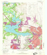
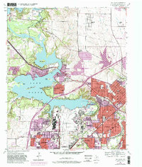
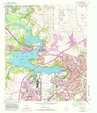
Editions of this 1955 Lake Worth Map
5 editions found

Other maps of this area

1891 · Weatherford
USGS Topo · 1:125,000

1893 · Weatherford
USGS Topo · 1:125,000

1894 · Fort Worth
USGS Topo · 1:125,000

1932 · Springtown
USGS Topo · 1:62,500

1954 · Dallas
USGS Topo · 1:250,000

1955 · Haltom City
USGS Topo · 1:24,000

1955 · Avondale
USGS Topo · 1:24,000

1955 · Aledo
USGS Topo · 1:24,000

1955 · Azle
USGS Topo · 1:24,000

1955 · Keller
USGS Topo · 1:24,000