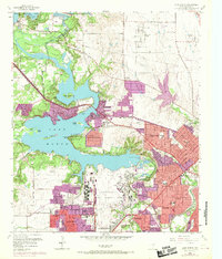
1955 Map of Lake Worth
USGS Topo · Published 1969About this map
Carswell Air Force Base and a massive Aircraft Plant dominate the landscape west of Fort Worth in this mid-century survey, showcasing the region's intense aerospace and defense industrialization. The map documents a period of rapid urban expansion, with purple-tinted revisions from 1968 highlighting the growth of Sansom Park Village, River Oaks, and White Settlement. These sprawling suburban footprints surround the eastern shores of Lake Worth, which serves as a major recreational hub featuring the Lake Worth Beach, numerous City Parks, and specialized camps like Camp Leroy Shuman and Camp Carter. To the north, the West Fork Trinity River flows from Eagle Mountain Lake past the State Fish Hatchery, while the eastern plains remain relatively open, marked by the Saginaw Airport and various Gravel Pits.
Find a feature on this map
54 named features on this map. Tap any name to fly to it.
Don’t see what you’re looking for? This feature index may not catch every label — zoom into the map to look around manually.
Map Details
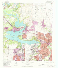
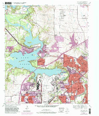
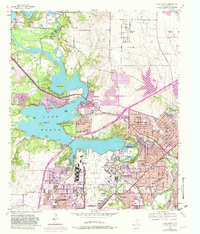
Editions of this 1955 Lake Worth Map
5 editions found

Other maps of this area

1891 · Weatherford
USGS Topo · 1:125,000

1893 · Weatherford
USGS Topo · 1:125,000

1894 · Fort Worth
USGS Topo · 1:125,000

1932 · Springtown
USGS Topo · 1:62,500

1954 · Dallas
USGS Topo · 1:250,000

1955 · Haltom City
USGS Topo · 1:24,000

1955 · Avondale
USGS Topo · 1:24,000

1955 · Aledo
USGS Topo · 1:24,000

1955 · Azle
USGS Topo · 1:24,000

1955 · Keller
USGS Topo · 1:24,000