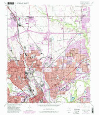
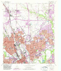
1955 Map of Haltom City
USGS Topo · Published 1987About this map
The confluence of the West Fork Trinity River and Clear Fork Trinity River anchors this mid-century survey of the industrial and residential corridors north of Fort Worth. The landscape is dominated by the sprawling infrastructure of the Saginaw Army Aircraft Plant and the Saginaw grain elevators, reflecting the region's mid-century role as a center for aviation and agriculture. To the east, Haltom City and North Richland Hills exhibit rapid suburban expansion alongside the Big Fossil Creek drainage.
Find a feature on this map
79 named features on this map. Tap any name to fly to it.
Don’t see what you’re looking for? This feature index may not catch every label — zoom into the map to look around manually.
Map Details
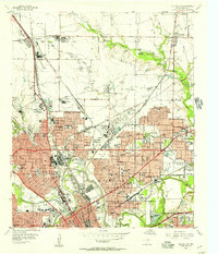
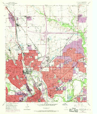
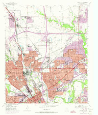
Editions of this 1955 Haltom City Map
6 editions found
Other maps of this area

1894 · Fort Worth
USGS Topo · 1:125,000

1931 · Grapevine
USGS Topo · 1:62,500

1954 · Dallas
USGS Topo · 1:250,000

1955 · Haltom City
USGS Topo · 1:24,000

1955 · Avondale
USGS Topo · 1:24,000

1955 · Keller
USGS Topo · 1:24,000

1955 · Lake Worth
USGS Topo · 1:24,000

1955 · Benbrook
USGS Topo · 1:24,000

1955 · Fort Worth
USGS Topo · 1:24,000

1955 · Haltom City
USGS Topo · 1:62,500