
1955 Map of Burleson
USGS Topo · Published 1956About this map
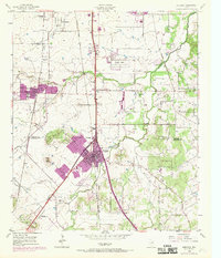
The Missouri Kansas Texas railroad bisects the landscape of the Texas blacklands in the mid-1950s, anchoring the development of Burleson and nearby Crowley. The survey captures a transition between rural agricultural life and the encroaching influence of the Fort Worth area, evident in the emergence of Garden Acres and the presence of the South Seminary near the northern boundary. Numerous gravel pits dot the terrain, particularly along the waterways of Deer Creek and Village Creek, indicating the industrial extraction supporting regional growth.
Find a feature on this map
33 named features on this map. Tap any name to fly to it.
Don’t see what you’re looking for? This feature index may not catch every label — zoom into the map to look around manually.
Map Details
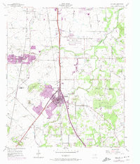
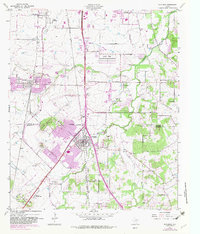
Editions of this 1955 Burleson Map
4 editions found
Other maps of this area

1891 · Cleburne
USGS Topo · 1:125,000

1894 · Cleburne
USGS Topo · 1:125,000

1894 · Fort Worth
USGS Topo · 1:125,000

1954 · Dallas
USGS Topo · 1:250,000

1955 · Primrose
USGS Topo · 1:24,000

1955 · Benbrook
USGS Topo · 1:24,000

1955 · Fort Worth
USGS Topo · 1:24,000

1958 · Dallas
USGS Topo · 1:250,000

1959 · Kennedale
USGS Topo · 1:24,000

1959 · Mansfield
USGS Topo · 1:24,000