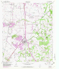
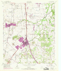
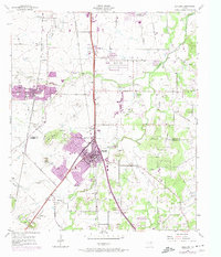
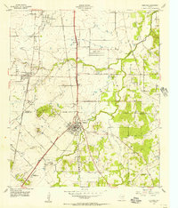
1955 Map of Burleson
USGS Topo · Published 1982About this map
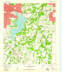
Burleson and Crowley anchor this mid-century look at the southern edge of the Fort Worth metro area, where the Tarrant and Johnson county lines meet. The landscape is defined by the convergence of major rail lines, including the Missouri Kansas and Texas and the Atchison Topeka and Santa Fe, which shaped the early development of these prairie communities. While urbanization begins to creep south from South Seminary, much of the area remains agricultural and rural, dotted with landmarks like the Redchain Research Farm and small aviation sites such as Luck Field and the Oak Grove Airport.
Find a feature on this map
37 named features on this map. Tap any name to fly to it.
Don’t see what you’re looking for? This feature index may not catch every label — zoom into the map to look around manually.
Map Details
Editions of this 1955 Burleson Map
4 editions found
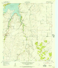
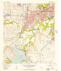
Other maps of this area

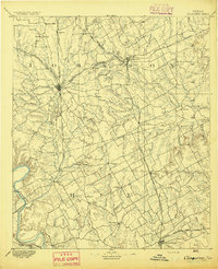
1891 · Cleburne
USGS Topo · 1:125,000
1894 · Cleburne
USGS Topo · 1:125,000

1894 · Fort Worth
USGS Topo · 1:125,000

1954 · Dallas
USGS Topo · 1:250,000
1955 · Burleson
USGS Topo · 1:24,000
1955 · Primrose
USGS Topo · 1:24,000
1955 · Benbrook
USGS Topo · 1:24,000
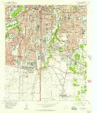
1955 · Fort Worth
USGS Topo · 1:24,000

1958 · Dallas
USGS Topo · 1:250,000
1959 · Kennedale
USGS Topo · 1:24,000