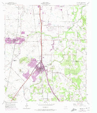
1955 Map of Burleson
USGS Topo · Published 1974About this map
Burleson serves as a focal point for this study of north-central Texas, situated along the Missouri Kansas Texas railroad line. The map illustrates a landscape transitioning from rural agricultural uses to suburban expansion, with purple-tinted revisions showing significant growth around Crowley and south of South Seminary. This document is a valuable resource for genealogical research, identifying numerous family-centric landmarks such as Prairie Springs Cem and the Oak Grove Ch and its adjacent Oak Grove Cem.
Find a feature on this map
33 named features on this map. Tap any name to fly to it.
Don’t see what you’re looking for? This feature index may not catch every label — zoom into the map to look around manually.
Map Details
Editions of this 1955 Burleson Map
4 editions found
Other maps of this area

1891 · Cleburne
USGS Topo · 1:125,000

1894 · Cleburne
USGS Topo · 1:125,000

1894 · Fort Worth
USGS Topo · 1:125,000

1954 · Dallas
USGS Topo · 1:250,000

1955 · Burleson
USGS Topo · 1:24,000

1955 · Primrose
USGS Topo · 1:24,000

1955 · Benbrook
USGS Topo · 1:24,000

1955 · Fort Worth
USGS Topo · 1:24,000

1958 · Dallas
USGS Topo · 1:250,000

1959 · Kennedale
USGS Topo · 1:24,000