
1959 Map of Mansfield
USGS Topo · Published 1960About this map
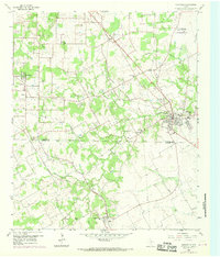
Mansfield serves as the primary hub on this 1959 survey, situated at the junction of the Texas and New Orleans (Southern Pacific) railroad and a network of county roads. The landscape transition from Tarrant to Johnson County is marked by a series of small, scattered rural settlements such as Bisbee, Watsonville, and Lillian. The terrain is defined by the winding course of Walnut Creek and its many tributaries, including Hogpen Branch and Willow Branch, which have historically dictated the placement of early homesteads and cemeteries.
Find a feature on this map
42 named features on this map. Tap any name to fly to it.
Don’t see what you’re looking for? This feature index may not catch every label — zoom into the map to look around manually.
Map Details
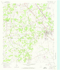
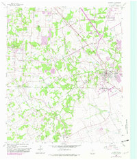
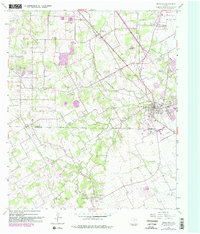
Editions of this 1959 Mansfield Map
5 editions found
Other maps of this area

1891 · Cleburne
USGS Topo · 1:125,000

1894 · Cleburne
USGS Topo · 1:125,000

1894 · Fort Worth
USGS Topo · 1:125,000

1954 · Dallas
USGS Topo · 1:250,000

1955 · Burleson
USGS Topo · 1:24,000

1955 · Fort Worth
USGS Topo · 1:24,000

1958 · Dallas
USGS Topo · 1:250,000

1959 · Kennedale
USGS Topo · 1:24,000

1959 · Arlington
USGS Topo · 1:24,000

1959 · Britton
USGS Topo · 1:24,000