
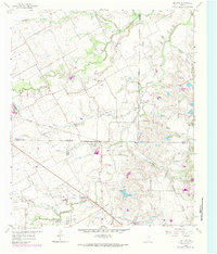
1959 Map of Britton
USGS Topo · Published 1960About this map
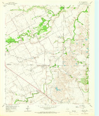
Britton sits at the convergence of several county lines in the late 1950s, serving as a quiet crossroads for the rail-and-creek landscape south of Arlington. The area is defined by the winding course of Mountain Creek and its many tributaries, including Walnut Creek and Bowman Branch. The geography of the late 1950s reveals a community deeply rooted in its local institutions, with small rural centers like St Paul Ch and Friendship Ch providing focal points for local residents. Multiple family and community burial grounds, such as Estes Cem, Cope Cem, and Pleasant Valley Cem, are scattered across the terrain, offering significant value for genealogical research.
Find a feature on this map
30 named features on this map. Tap any name to fly to it.
Don’t see what you’re looking for? This feature index may not catch every label — zoom into the map to look around manually.
Map Details
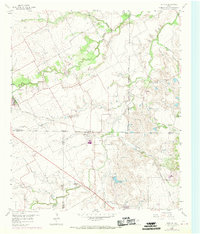
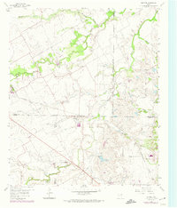
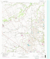
Editions of this 1959 Britton Map
6 editions found
Other maps of this area

1891 · Dallas
USGS Topo · 1:125,000

1891 · Cleburne
USGS Topo · 1:125,000

1893 · Dallas
USGS Topo · 1:125,000

1894 · Cleburne
USGS Topo · 1:125,000

1894 · Fort Worth
USGS Topo · 1:125,000

1954 · Dallas
USGS Topo · 1:250,000

1958 · Dallas
USGS Topo · 1:250,000

1959 · Kennedale
USGS Topo · 1:24,000

1959 · Arlington
USGS Topo · 1:24,000

1959 · Cedar Hill
USGS Topo · 1:24,000