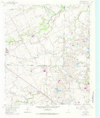
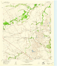
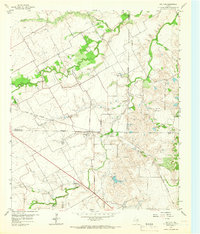
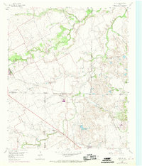
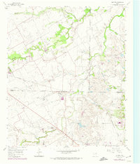
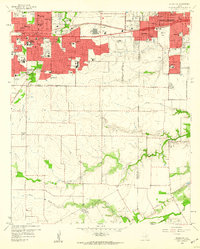
1959 Map of Britton
USGS Topo · Published 1984About this map
Britton stands as the central hub of this North Texas landscape, situated where the borders of Tarrant, Ellis, and Johnson counties converge. The settlement is anchored by the Southern Pacific railroad, which cuts a diagonal path through the prairie, supporting the local agricultural and extraction economy of the mid-20th century. Scattered across the drainage basins of Walnut Creek and Mountain Creek, several family and community landmarks provide essential clues for genealogists, including Estes Cem, Cope Cem, and Calvary Cem.
Find a feature on this map
26 named features on this map. Tap any name to fly to it.
Don’t see what you’re looking for? This feature index may not catch every label — zoom into the map to look around manually.
Map Details
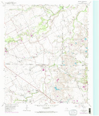
Editions of this 1959 Britton Map
6 editions found
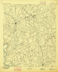
Other maps of this area

1891 · Dallas
USGS Topo · 1:125,000

1891 · Cleburne
USGS Topo · 1:125,000

1893 · Dallas
USGS Topo · 1:125,000
1894 · Cleburne
USGS Topo · 1:125,000

1894 · Fort Worth
USGS Topo · 1:125,000

1954 · Dallas
USGS Topo · 1:250,000

1958 · Dallas
USGS Topo · 1:250,000
1959 · Kennedale
USGS Topo · 1:24,000
1959 · Arlington
USGS Topo · 1:24,000
1959 · Cedar Hill
USGS Topo · 1:24,000