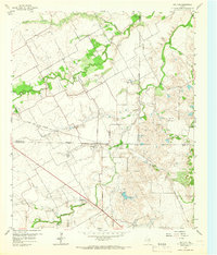
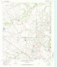
1959 Map of Britton
USGS Topo · Published 1966About this map
Britton serves as the central hub for this rural landscape where four North Texas counties—Tarrant, Dallas, Ellis, and Johnson—converge. The settlement pattern is defined by the intersection of the Southern Pacific and the Texas and New Orleans rail lines, which cut through a terrain of creek branches and agricultural land. The map reveals a community deeply rooted in its local institutions, evidenced by country churches like Friendship Ch and St Paul Ch.
Find a feature on this map
28 named features on this map. Tap any name to fly to it.
Don’t see what you’re looking for? This feature index may not catch every label — zoom into the map to look around manually.
Map Details
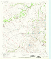
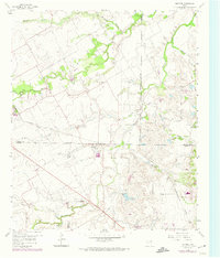
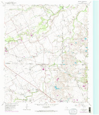
Editions of this 1959 Britton Map
6 editions found

Other maps of this area

1891 · Dallas
USGS Topo · 1:125,000

1891 · Cleburne
USGS Topo · 1:125,000

1893 · Dallas
USGS Topo · 1:125,000

1894 · Cleburne
USGS Topo · 1:125,000

1894 · Fort Worth
USGS Topo · 1:125,000

1954 · Dallas
USGS Topo · 1:250,000

1958 · Dallas
USGS Topo · 1:250,000

1959 · Kennedale
USGS Topo · 1:24,000

1959 · Arlington
USGS Topo · 1:24,000

1959 · Cedar Hill
USGS Topo · 1:24,000