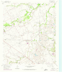
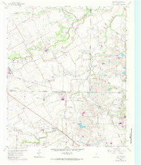
1959 Map of Britton
USGS Topo · Published 1974About this map
The settlement of Britton stands as the primary hub of this 1950s landscape, positioned near the intersection of the Southern Pacific railroad and a network of county boundaries. The area is defined by its complex hydrology, with numerous seasonal waterways like Walnut Creek, Mountain Creek, and Bowman Branch carving through the terrain. This map captures a rural Texas community transitioning toward modernity, where traditional landmarks like Friendship Ch and St Paul Ch remain central to local geography alongside emerging industrial signatures such as a prominent Pipeline and several gravel extraction sites.
Find a feature on this map
25 named features on this map. Tap any name to fly to it.
Don’t see what you’re looking for? This feature index may not catch every label — zoom into the map to look around manually.
Map Details
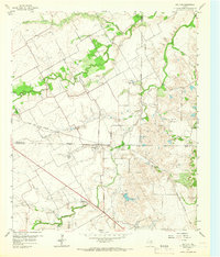
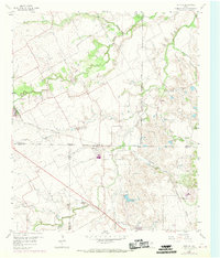
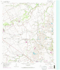
Editions of this 1959 Britton Map
6 editions found

Other maps of this area

1891 · Dallas
USGS Topo · 1:125,000

1891 · Cleburne
USGS Topo · 1:125,000

1893 · Dallas
USGS Topo · 1:125,000

1894 · Cleburne
USGS Topo · 1:125,000

1894 · Fort Worth
USGS Topo · 1:125,000

1954 · Dallas
USGS Topo · 1:250,000

1958 · Dallas
USGS Topo · 1:250,000

1959 · Kennedale
USGS Topo · 1:24,000

1959 · Arlington
USGS Topo · 1:24,000

1959 · Cedar Hill
USGS Topo · 1:24,000