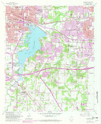
1959 Map of Kennedale
USGS Topo · Published 1982About this map
Lake Arlington dominates the central landscape of this Tarrant County survey, serving as a primary hydrologic and recreational anchor between the expanding urban boundaries of Fort Worth and Arlington. The map reveals a post-war transition where agricultural land and early industrial sites, such as the Forest Hill Drag Strip and various gravel pits, meet new residential developments and institutional landmarks like the Bible Baptist Seminary. Local history is deeply embedded in the terrain through family-named sites and established rural centers, including Johnsons Station and the Tate Springs Cem.
Find a feature on this map
78 named features on this map. Tap any name to fly to it.
Don’t see what you’re looking for? This feature index may not catch every label — zoom into the map to look around manually.
Map Details
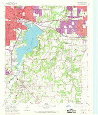
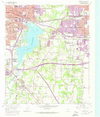
Editions of this 1959 Kennedale Map
4 editions found
Other maps of this area

1894 · Fort Worth
USGS Topo · 1:125,000

1931 · Grapevine
USGS Topo · 1:62,500

1954 · Dallas
USGS Topo · 1:250,000

1955 · Haltom City
USGS Topo · 1:24,000

1955 · Burleson
USGS Topo · 1:24,000

1955 · Fort Worth
USGS Topo · 1:24,000

1955 · Haltom City
USGS Topo · 1:62,500

1958 · Dallas
USGS Topo · 1:250,000

1959 · Kennedale
USGS Topo · 1:24,000

1959 · Arlington
USGS Topo · 1:24,000