
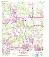
1959 Map of Euless
USGS Topo · Published 1960About this map
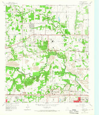
Amon Carter Field stands as a central aviation hub in this late-1950s landscape, complete with its Terminal Control Tower and radio towers. The surrounding Tarrant County terrain is defined by the winding course of the West Fork Trinity River and the extensive Gravel Pits that suggest a region in the midst of heavy infrastructure expansion. Rural roots remain visible through numerous family and community landmarks, including Bear Creek Cem, Colloway Cem, and several local schools like Watson School. The transit corridor is transitioning rapidly, evidenced by the Chicago Rock Island and Pacific railroad and the modern Dallas Fort Worth Turnpike cutting across the southern landscape. This survey captures the mid-century growth of Euless, Bedford, and Colleyville before suburban residential footprints fully overtook the agricultural and industrial spaces.
Find a feature on this map
60 named features on this map. Tap any name to fly to it.
Don’t see what you’re looking for? This feature index may not catch every label — zoom into the map to look around manually.
Map Details
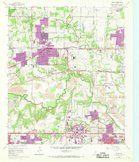
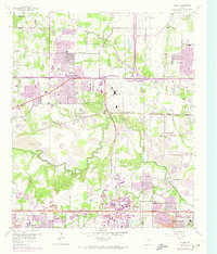
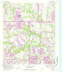
Editions of this 1959 Euless Map
7 editions found
Other maps of this area

1891 · Dallas
USGS Topo · 1:125,000

1893 · Dallas
USGS Topo · 1:125,000

1894 · Fort Worth
USGS Topo · 1:125,000

1925 · Dallas 2-b
USGS Topo · 1:48,000

1931 · Carrollton
USGS Topo · 1:62,500

1931 · Grapevine
USGS Topo · 1:62,500

1954 · Dallas
USGS Topo · 1:250,000

1958 · Dallas
USGS Topo · 1:250,000

1959 · Kennedale
USGS Topo · 1:24,000

1959 · Arlington
USGS Topo · 1:24,000