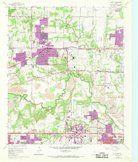
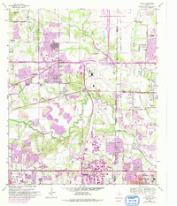
1959 Map of Euless
USGS Topo · Published 1969About this map
The mid-century transformation of the Tarrant County and Dallas County line is evident in the rapid suburban expansion of Euless, Bedford, and Colleyville. This era is defined by massive infrastructure projects, notably the sprawling Greater Southwest International Airport and its prominent Terminal Control Tower. Industrial development is concentrated along the West Fork Trinity River, where extensive Gravel Pits dominate the riverbanks, illustrating the region's reliance on extractive industries for its construction boom.
Find a feature on this map
49 named features on this map. Tap any name to fly to it.
Don’t see what you’re looking for? This feature index may not catch every label — zoom into the map to look around manually.
Map Details
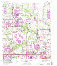
Editions of this 1959 Euless Map
7 editions found

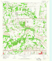
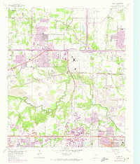
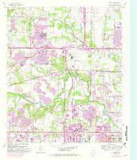
Other maps of this area

1891 · Dallas
USGS Topo · 1:125,000

1893 · Dallas
USGS Topo · 1:125,000

1894 · Fort Worth
USGS Topo · 1:125,000

1925 · Dallas 2-b
USGS Topo · 1:48,000

1931 · Carrollton
USGS Topo · 1:62,500

1931 · Grapevine
USGS Topo · 1:62,500

1954 · Dallas
USGS Topo · 1:250,000

1958 · Dallas
USGS Topo · 1:250,000

1959 · Kennedale
USGS Topo · 1:24,000

1959 · Arlington
USGS Topo · 1:24,000