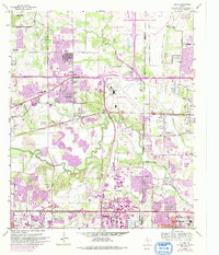
1959 Map of Euless
USGS Topo · Published 1992About this map
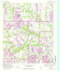
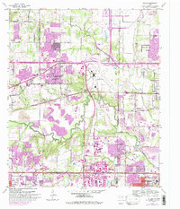
The West Fork Trinity River winds through this landscape, marking the convergence of rural history and massive mid-century infrastructure. Originally surveyed in the late 1950s with later updates, the map documents the emergence of the Dallas-Fort Worth International Airport and the sprawling reach of the Dallas-Fort Worth Turnpike. Despite the encroaching urban footprints of Arlington, Euless, and Grand Prairie, significant genealogical landmarks remain, such as the Bear Creek Cem and Shady Grove Cem.
Find a feature on this map
47 named features on this map. Tap any name to fly to it.
Don’t see what you’re looking for? This feature index may not catch every label — zoom into the map to look around manually.
Map Details
Editions of this 1959 Euless Map
7 editions found

Other maps of this area

1891 · Dallas
USGS Topo · 1:125,000

1893 · Dallas
USGS Topo · 1:125,000

1894 · Fort Worth
USGS Topo · 1:125,000

1925 · Dallas 2-b
USGS Topo · 1:48,000

1931 · Carrollton
USGS Topo · 1:62,500

1931 · Grapevine
USGS Topo · 1:62,500

1954 · Dallas
USGS Topo · 1:250,000

1958 · Dallas
USGS Topo · 1:250,000

1959 · Kennedale
USGS Topo · 1:24,000

1959 · Arlington
USGS Topo · 1:24,000