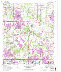
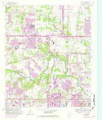
1959 Map of Euless
USGS Topo · Published 1992About this map
The mid-century transformation of the Tarrant and Dallas County line is evident in the sprawling expansion of Euless and Bedford toward the massive Dallas-Fort Worth International Airport. While heavy infrastructure like the Dallas-Fort Worth Turnpike and Airport Freeway redefine the landscape, older rural patterns remain visible along the meandering West Fork Trinity River. Long-established community centers are documented through landmarks such as White Chapel, Mt Elam Ch, and several historic burying grounds, including Bear Creek Cem and Colloway Cem. To the south, industrial and recreational features such as various Gravel Pits and the Fish Hatchery contrast with the emerging residential tracts of Grand Prairie and Arlington. This 1959 survey, updated in the early 1980s, captures the exact moment when suburban development began to overtake the traditional North Texas prairie.
Find a feature on this map
70 named features on this map. Tap any name to fly to it.
Don’t see what you’re looking for? This feature index may not catch every label — zoom into the map to look around manually.
Map Details
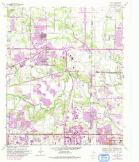
Editions of this 1959 Euless Map
7 editions found

Other maps of this area

1891 · Dallas
USGS Topo · 1:125,000

1893 · Dallas
USGS Topo · 1:125,000

1894 · Fort Worth
USGS Topo · 1:125,000

1925 · Dallas 2-b
USGS Topo · 1:48,000

1931 · Carrollton
USGS Topo · 1:62,500

1931 · Grapevine
USGS Topo · 1:62,500

1954 · Dallas
USGS Topo · 1:250,000

1958 · Dallas
USGS Topo · 1:250,000

1959 · Kennedale
USGS Topo · 1:24,000

1959 · Arlington
USGS Topo · 1:24,000