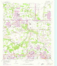
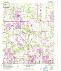
1959 Map of Euless
USGS Topo · Published 1974About this map
The West Fork Trinity River snakes through this mid-century landscape between Tarrant and Dallas counties, a period when rural Texas roots met rapid aviation and suburban growth. The sprawling Greater Southwest International Airport dominates the central terrain, complete with its Terminal Control Tower, while the Dallas-Fort Worth Turnpike (Toll Road) anchors the southern edge. Despite this modernization, local history remains anchored in family landmarks like Bear Creek Cem and Ford Cem. Small educational outposts such as Haley Sch and the West Fork School stand near the river's edge, while neighborhood settlements like Euless, Bedford, and Estelle begin to expand beyond their traditional boundaries. This survey documents the specific moment when these quiet communities and riverside gravel pits began their transformation into a major metropolitan corridor.
Find a feature on this map
44 named features on this map. Tap any name to fly to it.
Don’t see what you’re looking for? This feature index may not catch every label — zoom into the map to look around manually.
Map Details
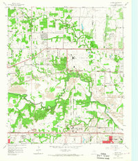
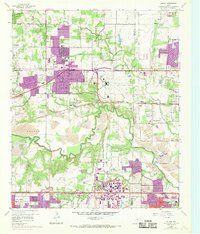
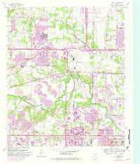
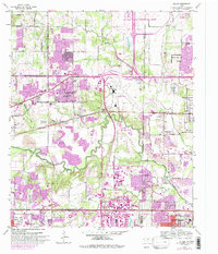
Editions of this 1959 Euless Map
7 editions found

Other maps of this area

1891 · Dallas
USGS Topo · 1:125,000

1893 · Dallas
USGS Topo · 1:125,000

1894 · Fort Worth
USGS Topo · 1:125,000

1925 · Dallas 2-b
USGS Topo · 1:48,000

1931 · Carrollton
USGS Topo · 1:62,500

1931 · Grapevine
USGS Topo · 1:62,500

1954 · Dallas
USGS Topo · 1:250,000

1958 · Dallas
USGS Topo · 1:250,000

1959 · Kennedale
USGS Topo · 1:24,000

1959 · Arlington
USGS Topo · 1:24,000