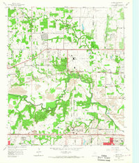
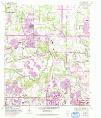
1959 Map of Euless
USGS Topo · Published 1967About this map
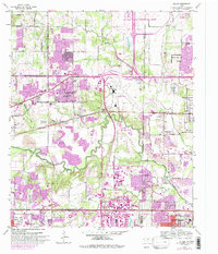
The Amon Carter Field airport dominates the center of this landscape, flanked by the growing mid-cities of Euless, Bedford, and Irving. This late-1950s documentation shows the region transitioning from rural agricultural land to a major suburban and transportation hub. The Chicago Rock Island and Pacific railroad and the Dallas-Fort Worth Turnpike (Toll Road) bisect the territory, illustrating the infrastructure that fueled this rapid development.
Find a feature on this map
48 named features on this map. Tap any name to fly to it.
Don’t see what you’re looking for? This feature index may not catch every label — zoom into the map to look around manually.
Map Details
Editions of this 1959 Euless Map
7 editions found

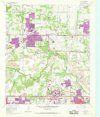
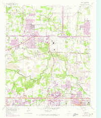
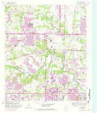
Other maps of this area

1891 · Dallas
USGS Topo · 1:125,000

1893 · Dallas
USGS Topo · 1:125,000

1894 · Fort Worth
USGS Topo · 1:125,000

1925 · Dallas 2-b
USGS Topo · 1:48,000

1931 · Carrollton
USGS Topo · 1:62,500

1931 · Grapevine
USGS Topo · 1:62,500

1954 · Dallas
USGS Topo · 1:250,000

1958 · Dallas
USGS Topo · 1:250,000

1959 · Kennedale
USGS Topo · 1:24,000

1959 · Arlington
USGS Topo · 1:24,000