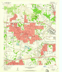
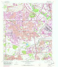
1959 Map of Irving
USGS Topo · Published 1960About this map
The Irving city boundary expanded across the north Texas landscape by the late 1950s, bridging the gap between the Elm Fork Trinity River and the expanding industrial zones of Grand Prairie. This survey captures a moment of institutional growth, featuring the newly established University of Dallas and the Cistercian Monastery near the river’s edge. While residential blocks push westward through the Sowers community, the landscape remains punctuated by specialized aviation and recreation sites like the Jap Lee Airstrip and the Dallas Gun Club.
Find a feature on this map
93 named features on this map. Tap any name to fly to it.
Don’t see what you’re looking for? This feature index may not catch every label — zoom into the map to look around manually.
Map Details
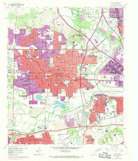
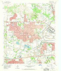
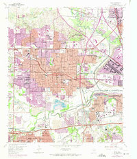
Editions of this 1959 Irving Map
5 editions found
Other maps of this area

1891 · Dallas
USGS Topo · 1:125,000

1893 · Dallas
USGS Topo · 1:125,000

1894 · Fort Worth
USGS Topo · 1:125,000

1925 · Dallas 2-b
USGS Topo · 1:48,000

1931 · Carrollton
USGS Topo · 1:62,500

1931 · Grapevine
USGS Topo · 1:62,500

1954 · Dallas
USGS Topo · 1:250,000

1958 · Dallas
USGS Topo · 1:250,000

1958 · Oak Cliff
USGS Topo · 1:24,000

1958 · Dallas
USGS Topo · 1:24,000