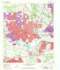
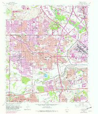
1959 Map of Irving
USGS Topo · Published 1969About this map
The confluence of the Elm Fork Trinity River and the West Fork Trinity River anchors this landscape during a period of rapid suburbanization. Between the original 1959 survey and 1968 revisions, the footprint of Irving and Grand Prairie expanded significantly, bridging the gap between established neighborhoods and older rural settlements like Sowers. The map reveals a complex industrial and transit-oriented corridor, where the Dallas-Fort Worth Turnpike and several major railroads, including the Chicago Rock Island and Pacific RR, carve through a landscape of heavy extractive industry.
Find a feature on this map
125 named features on this map. Tap any name to fly to it.
Don’t see what you’re looking for? This feature index may not catch every label — zoom into the map to look around manually.
Map Details
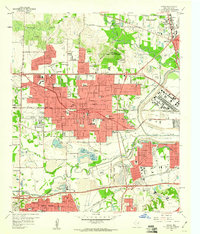
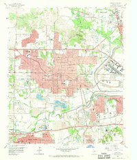
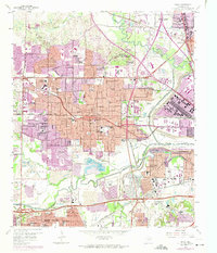
Editions of this 1959 Irving Map
5 editions found
Other maps of this area

1891 · Dallas
USGS Topo · 1:125,000

1893 · Dallas
USGS Topo · 1:125,000

1894 · Fort Worth
USGS Topo · 1:125,000

1925 · Dallas 2-b
USGS Topo · 1:48,000

1931 · Carrollton
USGS Topo · 1:62,500

1931 · Grapevine
USGS Topo · 1:62,500

1954 · Dallas
USGS Topo · 1:250,000

1958 · Dallas
USGS Topo · 1:250,000

1958 · Oak Cliff
USGS Topo · 1:24,000

1958 · Dallas
USGS Topo · 1:24,000