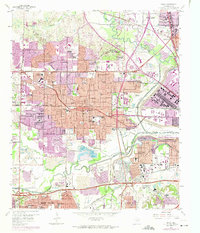
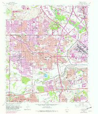
1959 Map of Irving
USGS Topo · Published 1974About this map
Irving and the surrounding suburban reaches of Dallas and Grand Prairie are captured during a period of massive mid-century expansion. The landscape is defined by the heavy infrastructure of the Trinity River Floodway and the West Fork Trinity River, which are flanked by extensive gravel pits and industrial activity at Gifford Hill. Academic and spiritual enclaves like the University of Dallas, the Cistercian Monastery, and St Mary House of Study stand in the northern sector, while the burgeoning residential grid is marked by dozens of local institutions such as Crockett Jr High Sch and St Luke Sch.
Find a feature on this map
80 named features on this map. Tap any name to fly to it.
Don’t see what you’re looking for? This feature index may not catch every label — zoom into the map to look around manually.
Map Details
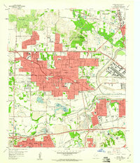
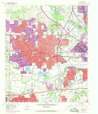
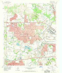
Editions of this 1959 Irving Map
5 editions found
Other maps of this area

1891 · Dallas
USGS Topo · 1:125,000

1893 · Dallas
USGS Topo · 1:125,000

1894 · Fort Worth
USGS Topo · 1:125,000

1925 · Dallas 2-b
USGS Topo · 1:48,000

1931 · Carrollton
USGS Topo · 1:62,500

1931 · Grapevine
USGS Topo · 1:62,500

1954 · Dallas
USGS Topo · 1:250,000

1958 · Dallas
USGS Topo · 1:250,000

1958 · Oak Cliff
USGS Topo · 1:24,000

1958 · Dallas
USGS Topo · 1:24,000