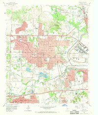
1959 Map of Irving
USGS Topo · Published 1969About this map
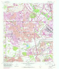
The Elm Fork Trinity River and West Fork Trinity River converge here, framing the mid-century expansion of Irving and the western edge of Dallas. This landscape is defined by its industrial and academic growth, featuring the newly established University of Dallas and the specialized Cistercian Monastery. The map documents a transition from rural crossroads like Sowers to planned development, evidenced by the numerous school sites such as Rochelle Sch and Barton Sch. Extensive Gravel Pits dominate the river bottomlands, particularly near the West Fork Trinity River Floodway, while the Brook Hollow Industrial Area signals the region's burgeoning economic role. Transportation infrastructure is dense, with the Dallas-Fort Worth Turnpike and several major rail lines including the Chicago Rock Island and Pacific RR carving through the terrain.
Find a feature on this map
102 named features on this map. Tap any name to fly to it.
Don’t see what you’re looking for? This feature index may not catch every label — zoom into the map to look around manually.
Map Details
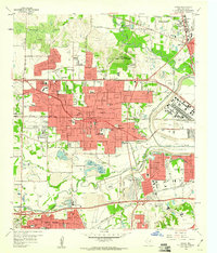
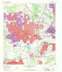
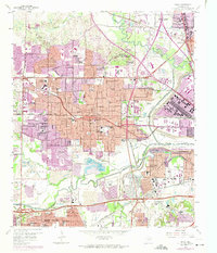
Editions of this 1959 Irving Map
5 editions found
Other maps of this area

1891 · Dallas
USGS Topo · 1:125,000

1893 · Dallas
USGS Topo · 1:125,000

1894 · Fort Worth
USGS Topo · 1:125,000

1925 · Dallas 2-b
USGS Topo · 1:48,000

1931 · Carrollton
USGS Topo · 1:62,500

1931 · Grapevine
USGS Topo · 1:62,500

1954 · Dallas
USGS Topo · 1:250,000

1958 · Dallas
USGS Topo · 1:250,000

1958 · Oak Cliff
USGS Topo · 1:24,000

1958 · Dallas
USGS Topo · 1:24,000