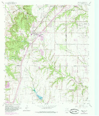
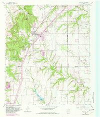
1959 Map of Cedar Hill
USGS Topo · Published 1985About this map
Cedar Hill sits as a central hub on this mid-century survey, positioned at the edge of the White Rock Escarpment where the landscape begins its descent toward the rolling prairies of Ellis County. The map documents a period of significant suburban expansion, with updated boundaries for De Soto and the emergence of Glenn Heights and Ovilla to the southeast. Despite this growth, the landscape remains punctuated by long-standing local landmarks and community centers, including Rhodes Cem and spiritual retreats like the Mount Lebanon Encampment and Cedar Hill Bible Camp.
Find a feature on this map
50 named features on this map. Tap any name to fly to it.
Don’t see what you’re looking for? This feature index may not catch every label — zoom into the map to look around manually.
Map Details
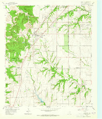
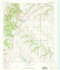
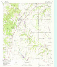
Editions of this 1959 Cedar Hill Map
6 editions found

Other maps of this area

1891 · Dallas
USGS Topo · 1:125,000

1891 · Cleburne
USGS Topo · 1:125,000

1893 · Dallas
USGS Topo · 1:125,000

1894 · Cleburne
USGS Topo · 1:125,000

1894 · Fort Worth
USGS Topo · 1:125,000

1954 · Dallas
USGS Topo · 1:250,000

1958 · Dallas
USGS Topo · 1:250,000

1958 · Oak Cliff
USGS Topo · 1:24,000

1959 · Arlington
USGS Topo · 1:24,000

1959 · Lancaster
USGS Topo · 1:24,000