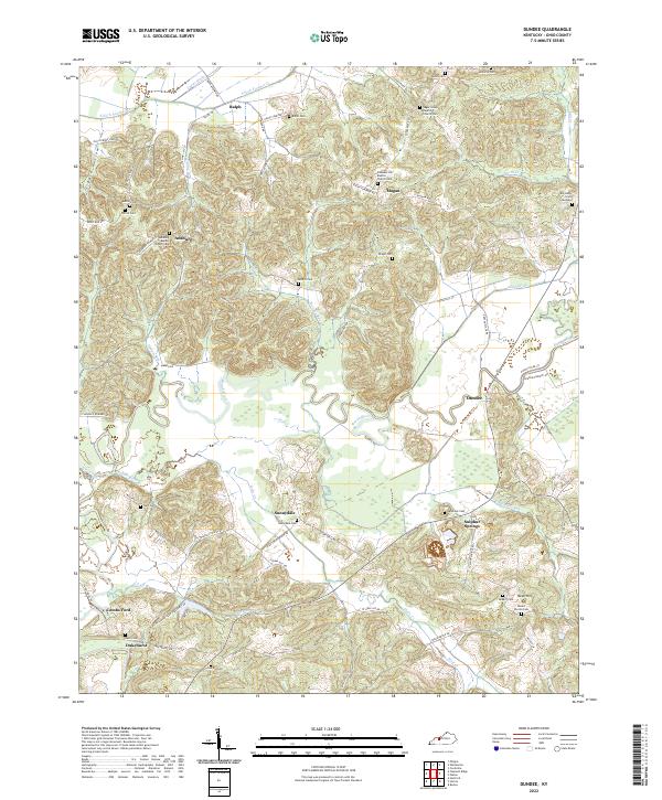
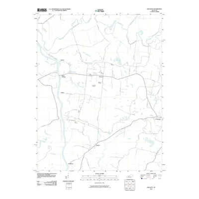
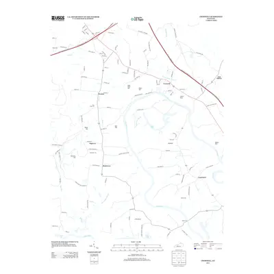
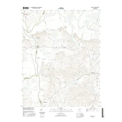
2022 Map of Dundee
USGS Topo · Published 2022About this map
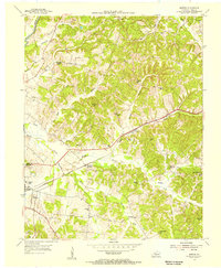
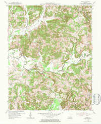
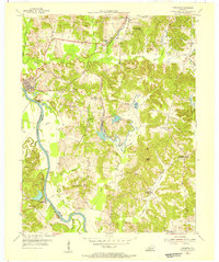
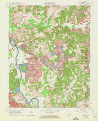
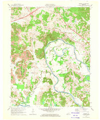
The Rough River winds through this section of Ohio County, shaping a landscape defined by sharp ridges and deep valleys like Dark Hollow. Small, family-centered settlements such as Dundee, Sunnydale, and Magan are connected by a web of rural routes like Magan Rd and State Hwy 1414. The map reveals a high density of rural religious and burial sites, which are often the primary landmarks for these unincorporated communities.
Find a feature on this map
79 named features on this map. Tap any name to fly to it.
Don’t see what you’re looking for? This feature index may not catch every label — zoom into the map to look around manually.
Map Details
Editions of this 2022 Dundee Map
This is the sole edition of this map. No revisions or reprints were ever made.
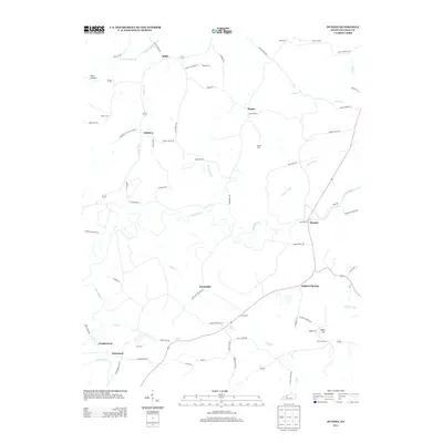
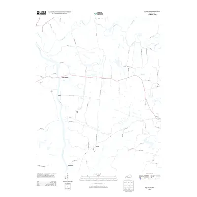
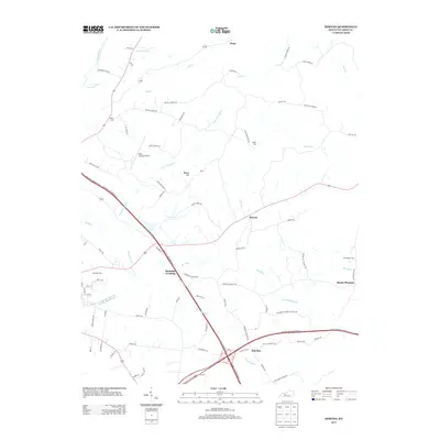
Historical Maps of Sulphur Springs Through Time
39 maps found
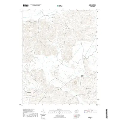
1952 Equality
Ohio County, KY
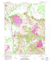
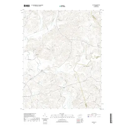
1953 Dundee
Ohio County, KY
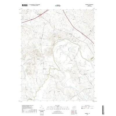
1954 Cromwell
Ohio County, KY
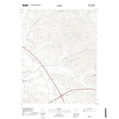
1954 Horton
Ohio County, KY
1954 Olaton
Ohio County, KY
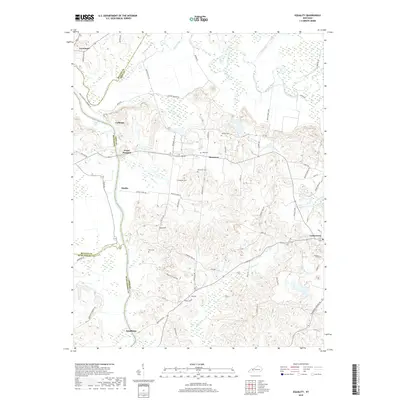
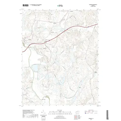
1954 Paradise
Ohio County, KY
1963 Paradise
Ohio County, KY
1971 Cromwell
Ohio County, KY
1971 Horton
Ohio County, KY
2010 Cromwell
Ohio County, KY
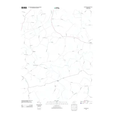
2010 Dundee
Ohio County, KY
2010 Equality
Ohio County, KY
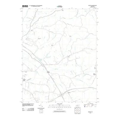
2010 Horton
Ohio County, KY
2010 Olaton
Ohio County, KY
2010 Paradise
Ohio County, KY
2013 Cromwell
Ohio County, KY
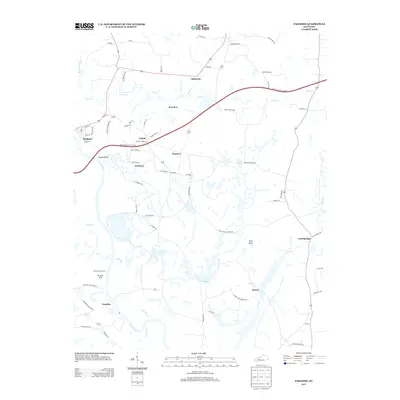
2013 Dundee
Ohio County, KY
2013 Equality
Ohio County, KY
2013 Horton
Ohio County, KY
2013 Olaton
Ohio County, KY
2013 Paradise
Ohio County, KY
2016 Cromwell
Ohio County, KY
2016 Dundee
Ohio County, KY
2016 Equality
Ohio County, KY
2016 Horton
Ohio County, KY
2016 Olaton
Ohio County, KY
2016 Paradise
Ohio County, KY
2019 Cromwell
Ohio County, KY
2019 Dundee
Ohio County, KY
2019 Equality
Ohio County, KY
2019 Horton
Ohio County, KY
2019 Olaton
Ohio County, KY
2019 Paradise
Ohio County, KY
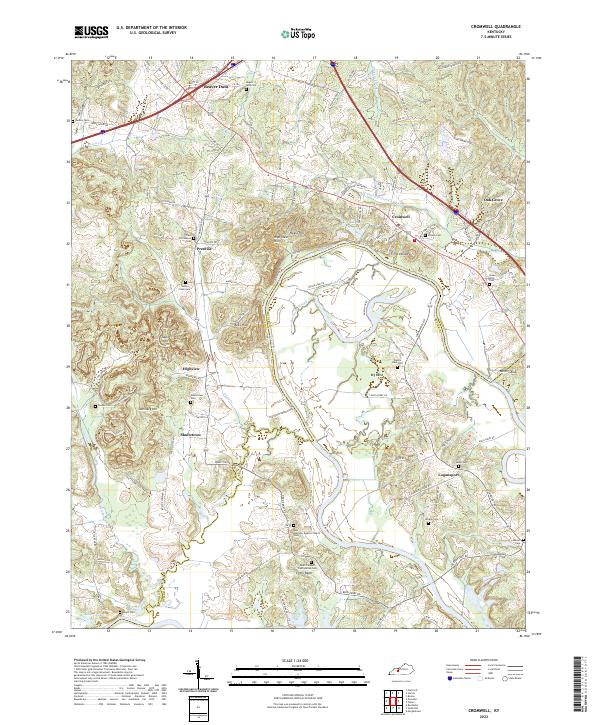
2022 Cromwell
Ohio County, KY
2022 Dundee
Ohio County, KY
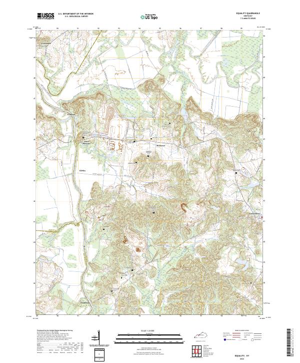
2022 Equality
Ohio County, KY
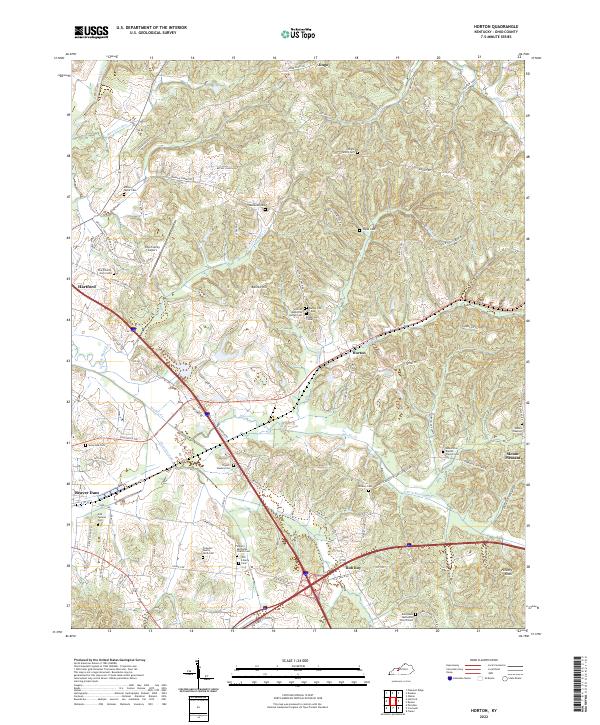
2022 Horton
Ohio County, KY
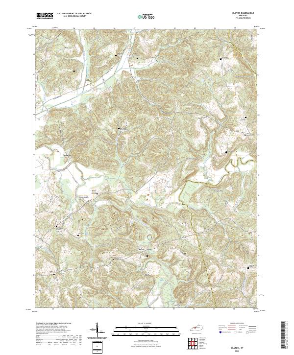
2022 Olaton
Ohio County, KY
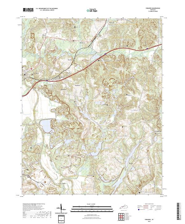
2022 Paradise
Ohio County, KY