2023 Map of Dunkirk
USGS Topo · Published 2023About this map
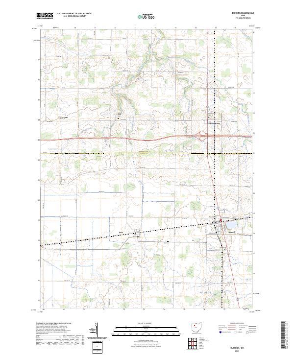
Dunkirk and the surrounding agricultural landscapes of northern Hardin County and southern Hancock County are defined by a grid of township and county roads. The village of Dunkirk serves as the local hub, with its street grid organized around thoroughfares such as E Geneva St and W Washington St. The map illustrates a region where water management is critical to the local economy, evidenced by a network of drainage systems including the Woodruff Ditch and Hydraulic Ditch. Smaller rural settlements like Dola, Williamstown, and New Stark are dispersed across the plains, each often anchored by proximity to local watercourses like Eagle Creek or Ottawa Creek. This survey provides a precise record of late-career family landmarks, particularly the many rural burial grounds including Dunkirk Cem, Dola Cem, and Eagle Creek Cem which dot the landscape at the intersections of county roads.
Find a feature on this map
45 named features on this map. Tap any name to fly to it.
Don’t see what you’re looking for? This feature index may not catch every label — zoom into the map to look around manually.
Map Details
Editions of this 2023 Dunkirk Map
This is the sole edition of this map. No revisions or reprints were ever made.
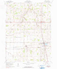
Historical Maps of Dunkirk Through Time
Featured Locations
- Blanchard Township, OH
- Washington Township, OH
- Williamstown, OH
- Dola, Washington Township
- Dunkirk, Blanchard Township