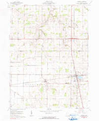
1961 Map of Dunkirk
USGS Topo · Published 1990About this map
Agricultural lands and intersecting rail lines define this section of Northwest Ohio, where the village of Dunkirk serves as the primary hub at the junction of the New York Central and Pennsylvania railroads. The landscape is marked by a network of drainage channels, including the Fitzhugh Ditch and No 28 Ditch, which support the surrounding farmsteads across Washington and Blanchard townships.
Find a feature on this map
26 named features on this map. Tap any name to fly to it.
Don’t see what you’re looking for? This feature index may not catch every label — zoom into the map to look around manually.
Map Details
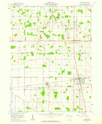
Editions of this 1961 Dunkirk Map
2 editions found
Other maps of this area

1905 · Arlington
USGS Topo · 1:62,500

1907 · Bluffton
USGS Topo · 1:62,500

1907 · Arlington
USGS Topo · 1:24,000

1913 · Alger
USGS Topo · 1:48,000

1915 · Alger
USGS Topo · 1:62,500

1915 · Kenton
USGS Topo · 1:62,500

1943 · Alger
USGS Topo · 1:62,500

1944 · Kenton
USGS Topo · 1:62,500

1950 · Marion
USGS Topo · 1:250,000

1960 · Rawson
USGS Topo · 1:24,000